Loading the 3D map … it needs an internet connection.
On a quiet side fjord, in the middle of the west
Casa Lofoten sits at the water on Skjelfjorden, a quiet side fjord on Flakstadøya — in the middle of the west of Lofoten. The E10 runs past on the other side of the water, which is the whole trick of the place: you are four minutes from the main road without living on it. Nights are quiet, the shop, café and petrol station in Ramberg are five minutes away, and the beach, the dock and the sauna are on your own 14,700 square metres.
From here the famous west is a set of day trips rather than expeditions. Volandstind starts 1,805 metres from the door, measured; Rambergstranda is five minutes; Reine, Hamnøy and Sakrisøy are about half an hour; and Å, at the end of the road, is under an hour. Come home, light the sauna, and let the fjord finish the day.
Where you find us
“The house sits on a side fjord, not directly on the E10 — quiet, with little passing traffic.”
“An excellent base for exploring the Lofoten islands, from Vestvågøy all the way to Moskenesøya.”
“Å, Nusfjord, Utakleiv… all within a short drive.”
“The perfect base also for exploring Lofoten, with many of the best hikes nearby and also great amenities (eg grocery and quality restaurants) nearby.”
Most of the west, within half an hour
The same window of country, place by place — east to west. All times are from Casa Lofoten; the ones marked ≈ are our estimates until we have driven and timed them, the rest are measured.
Every place on the map, one by one
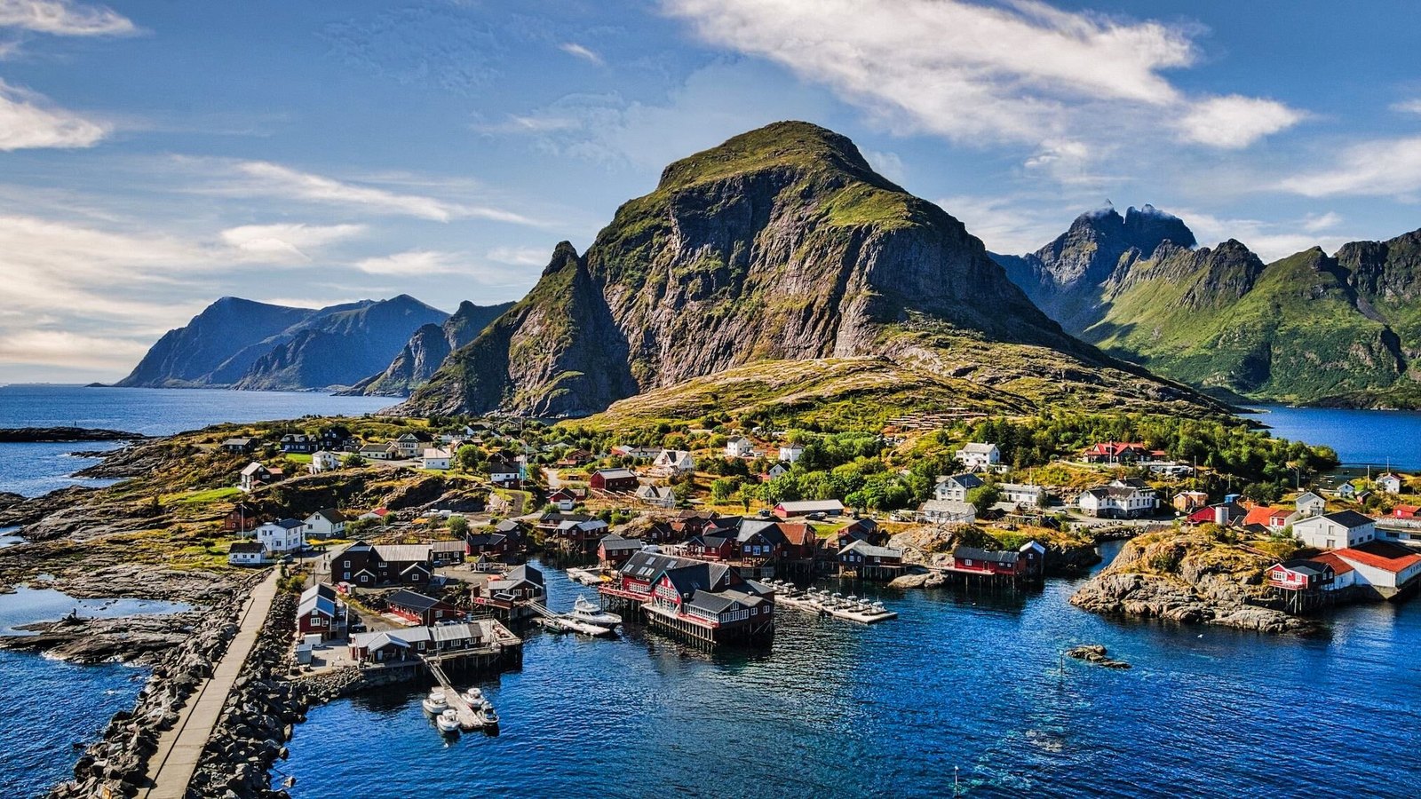
Beaches, hikes and villages from Leknes to Å, and the two towns further east — each with its own page. Tap a place on the map above and its photograph brings you straight down to it here. Værøy, Nesland and the walk between Nesland and Nusfjord are new on the list and not on the map yet. Every photograph is our own.
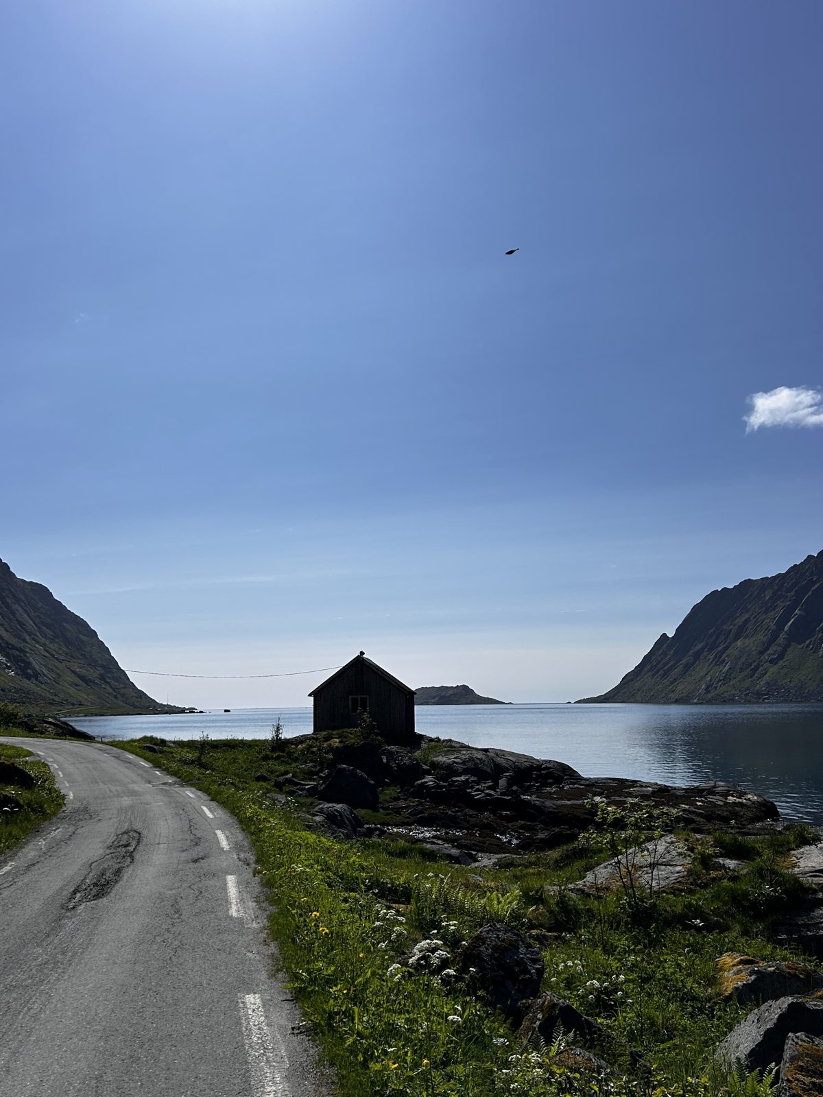
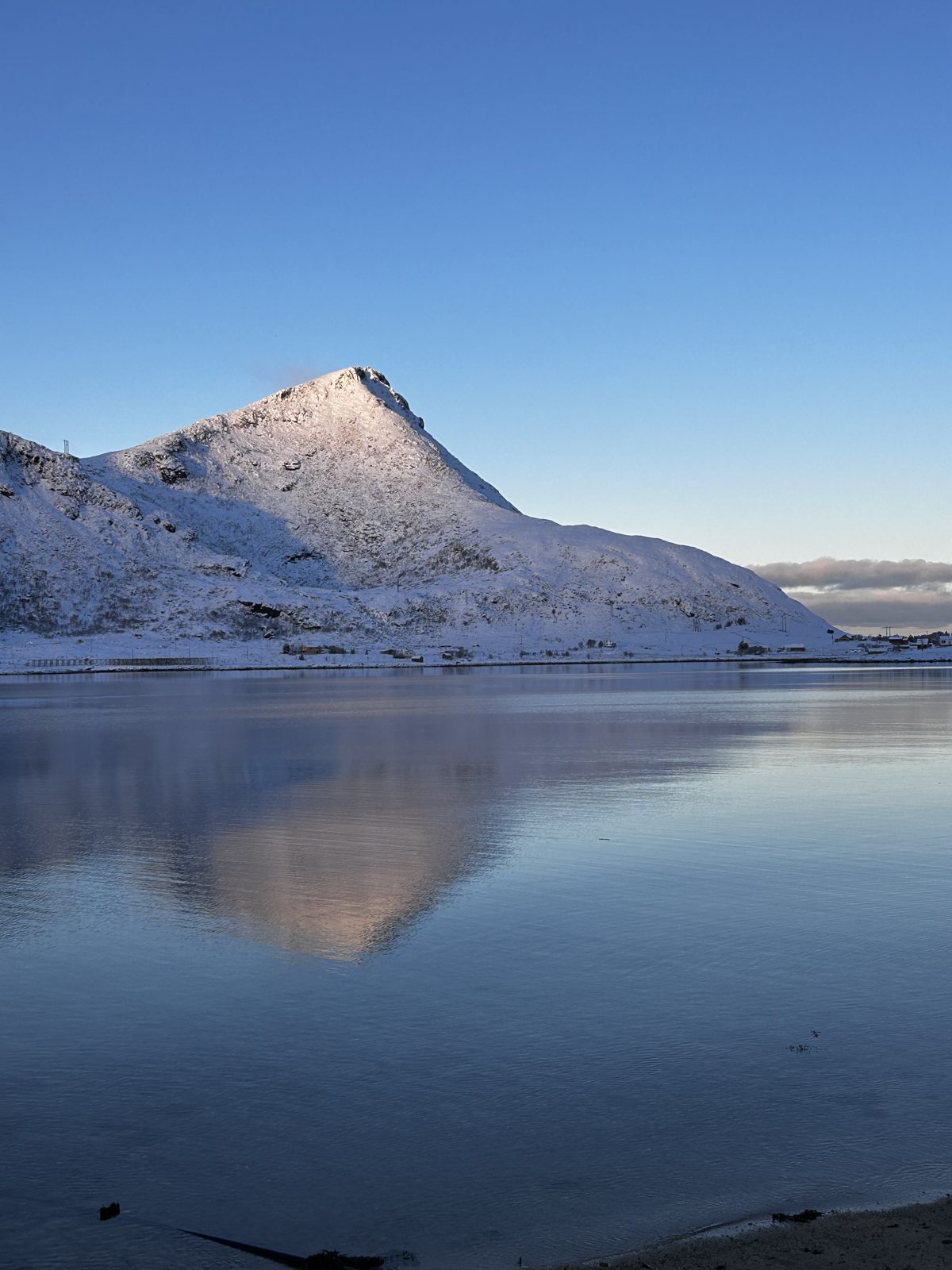
Skjelfjorden
The side fjord the house sits on — and the reason it is not on the E10: the traffic goes past on the other side of the water. The Volandstind trail starts at the community hall at the head of the fjord, and the island of Kunna stands at its mouth.
Ramberg
The nearest village. Grocery shop, café, restaurant, petrol, tourist information and a doctor. This is what makes the location workable rather than merely scenic: you are not driving half an hour for milk.
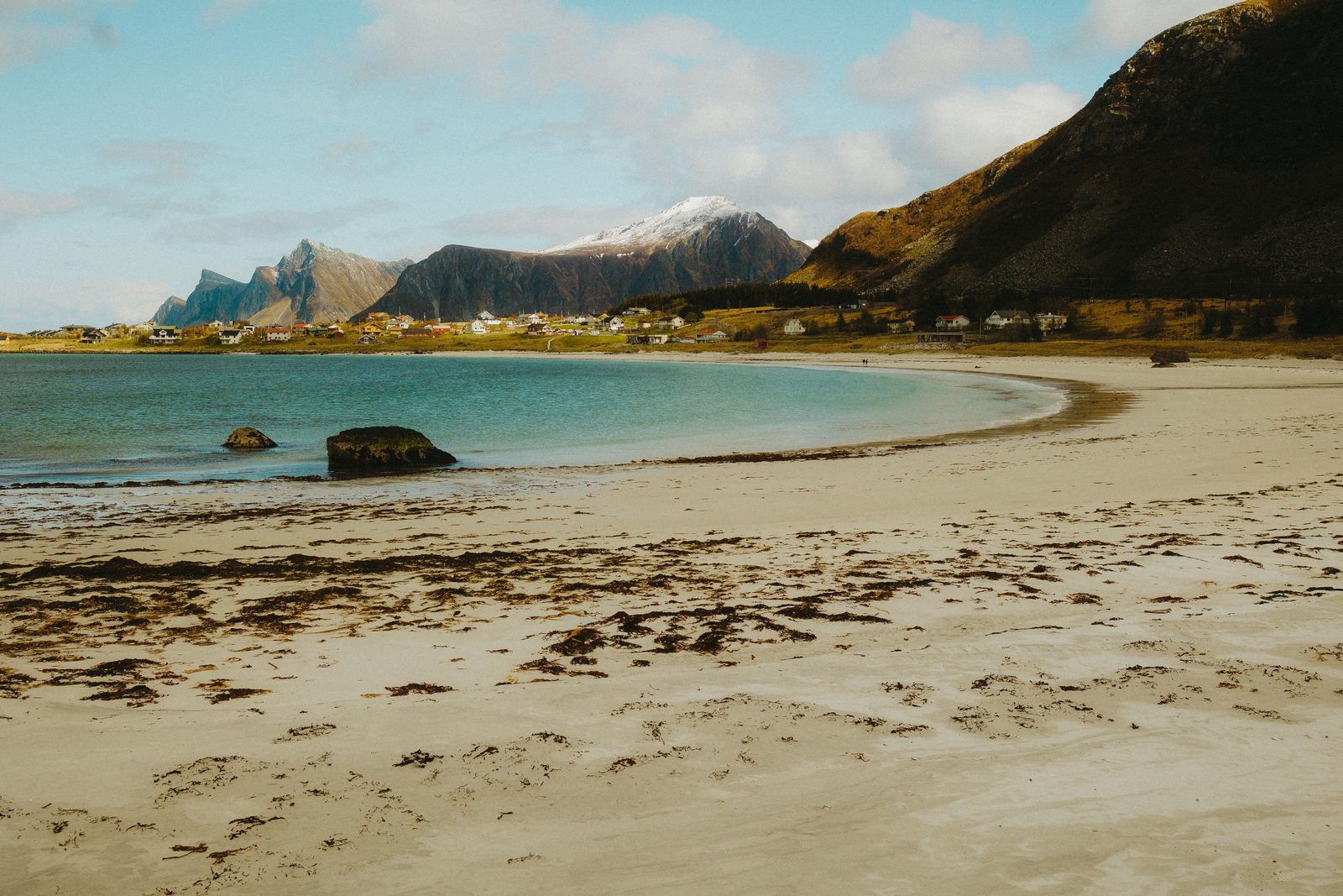
Rambergstranda
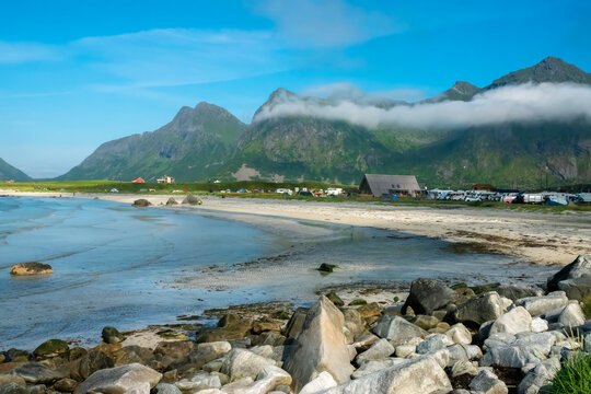
The long white beach on the outer coast, facing open sea. It is one of the few places in Lofoten where you can watch the midnight sun touch the water without climbing anything.
Volandstind
The mountain you can walk to from the house. The trailhead is 1,805 metres from the door, measured — a 20–25 minute walk, or about three minutes by car; the route to the summit is two kilometres one way, with a lean-to shelter early on that works as a turning point for groups with small children. The guide has the full route on the interactive 3D map.
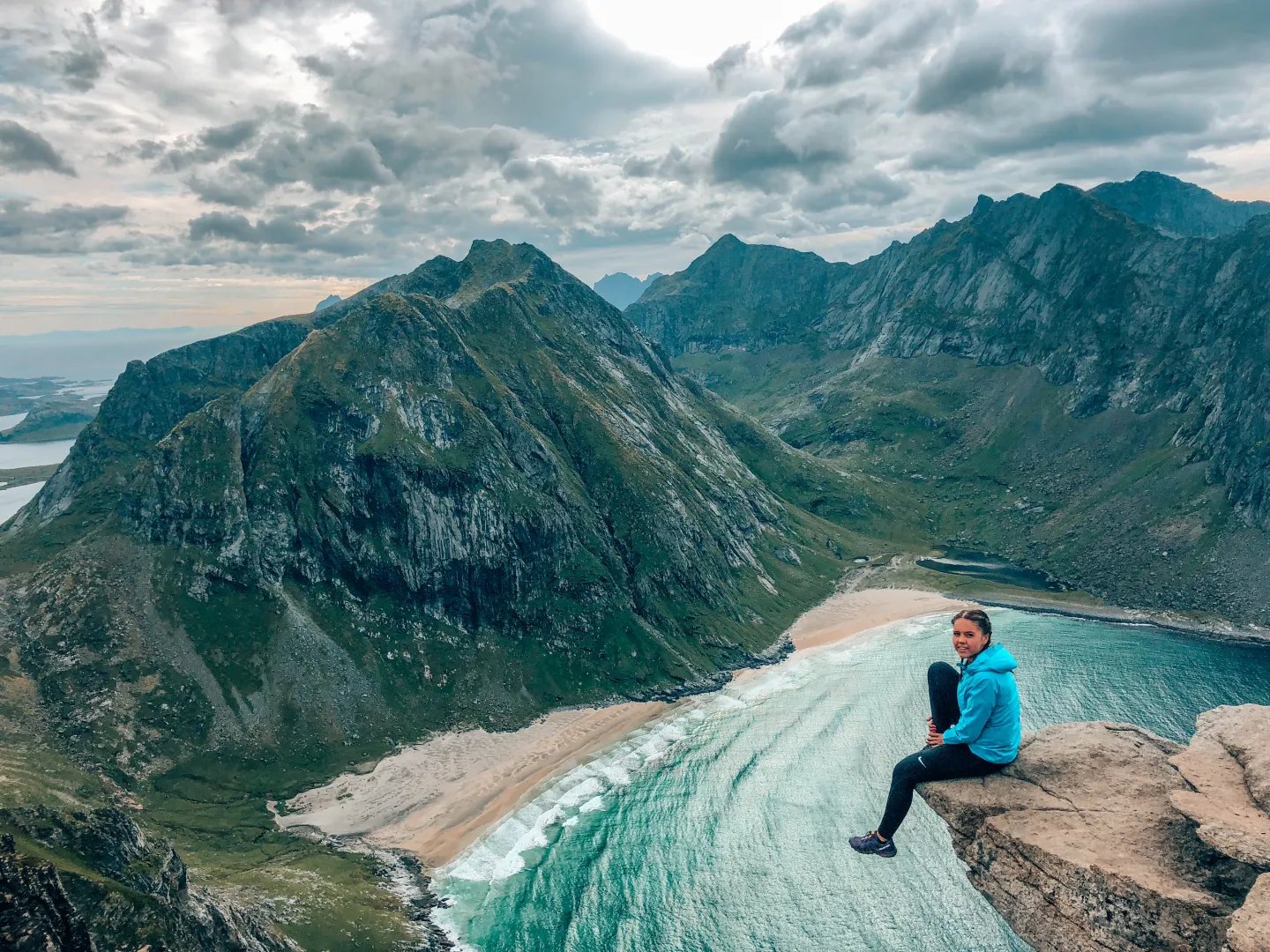
Kvalvika Beach
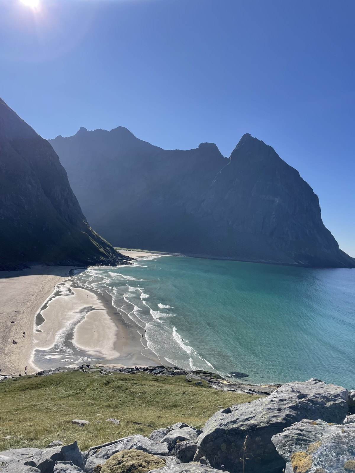
A beach with no road to it. You walk in over a saddle, which is exactly why it stays quiet even in July. Ryten rises above it for those who want the view from higher up.
Ryten
The summit above Kvalvika Beach — the viewpoint straight down onto the sand, usually walked from the Fredvang side.
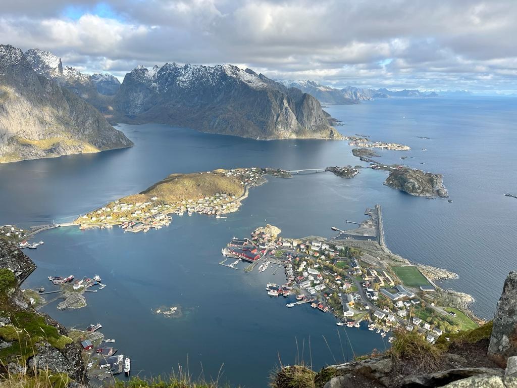
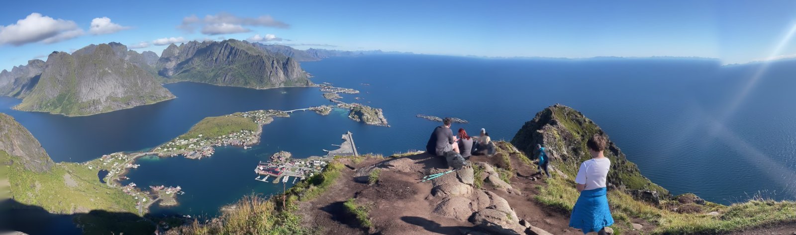
Reinebringen
The staircase above Reine. Sherpas rebuilt the path after erosion and rockfall made the old route unsafe. Go on a dry day, start early or late, and expect to queue on the steps in season. The guide has the staircase and both car parks on the interactive 3D map.
Nusfjord
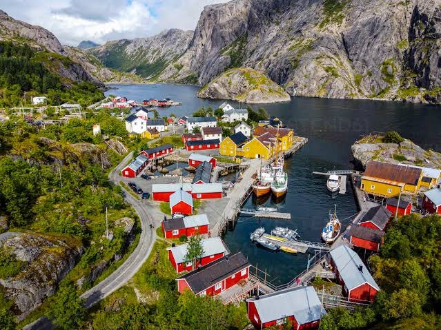
One of the oldest and best preserved fishing villages in Norway. There is an entrance fee in season. The coastal walk in from Nesland is the better way to arrive, if someone can collect you by car afterwards.
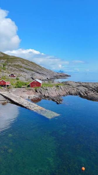
The walk from Nesland to Nusfjord
The coastal path between Nesland and Nusfjord, along the shoreline the road never reaches. Walking in is the better way to arrive in Nusfjord — if someone can collect you by car afterwards.
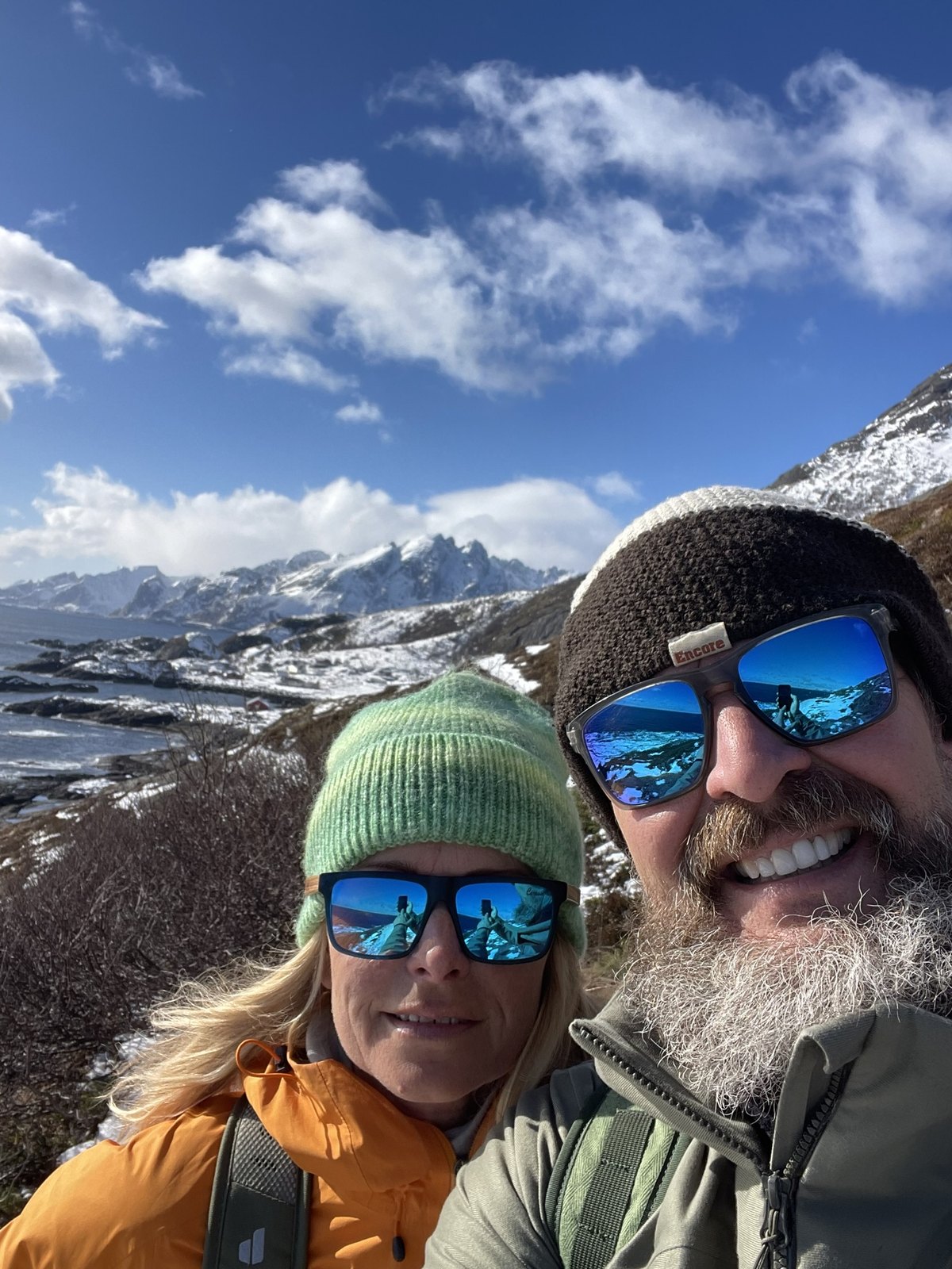
The Fredvang bridges
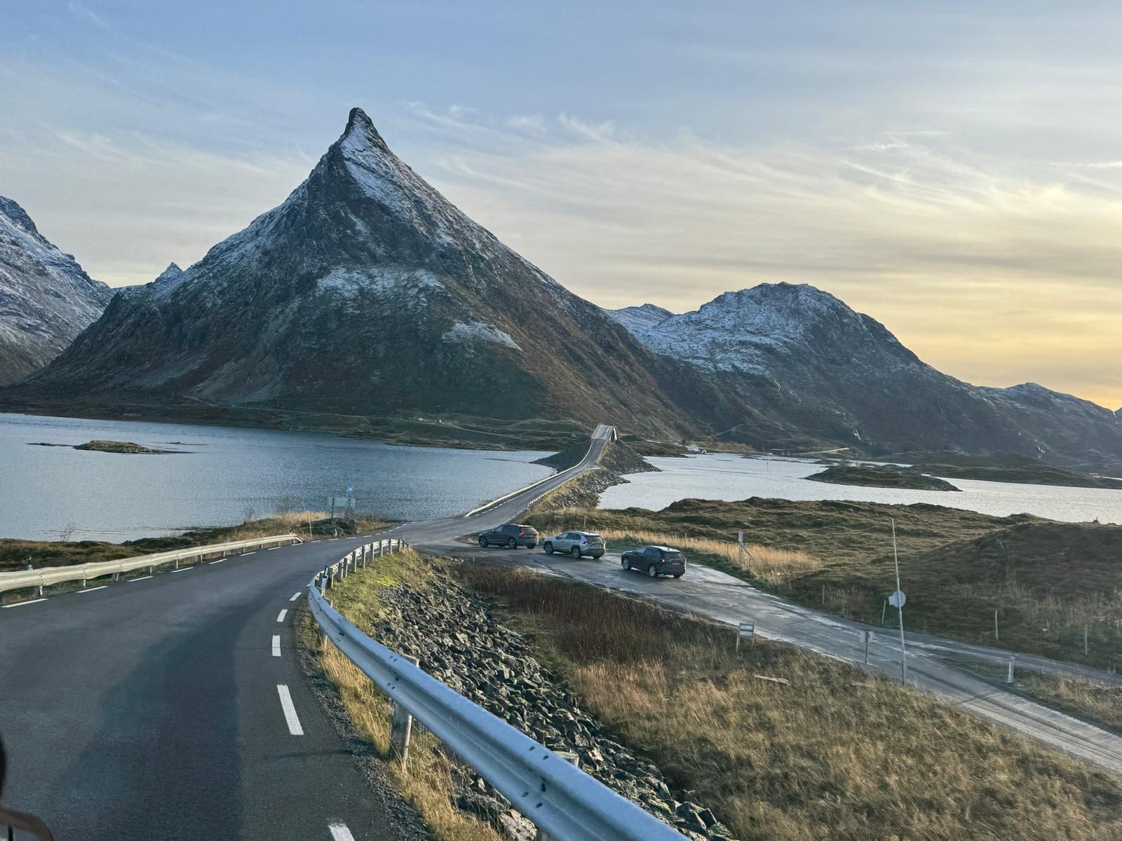
The two cambered bridges that arc over to Fredvang, with Volandstind rising behind them. The classic view of the mountain is from here — the house, and the far easier route up, are on the other side.
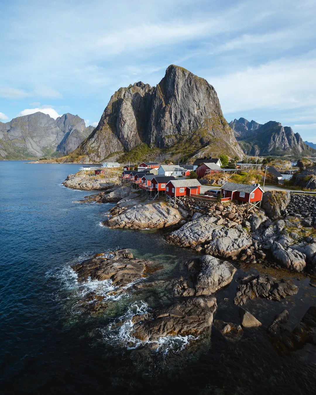
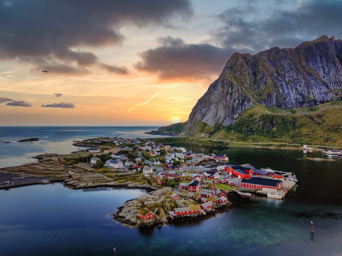
Reine
The village most people picture when they picture Lofoten. Shops, places to eat, and the departure point for boat trips into Reinefjorden.
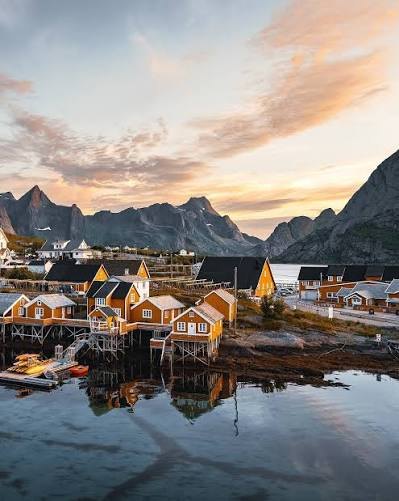
Sakrisøy
The small island between Hamnøy and Reine, known for its ochre-yellow cabins among the red ones, a fish shop, and dried cod on the racks in spring.
Hauklandstranda
White sand and clear turquoise water on Vestvågøya — regularly named among Norway's finest beaches. The coastal path around to Uttakleiv is flat, easy and worth the hour.
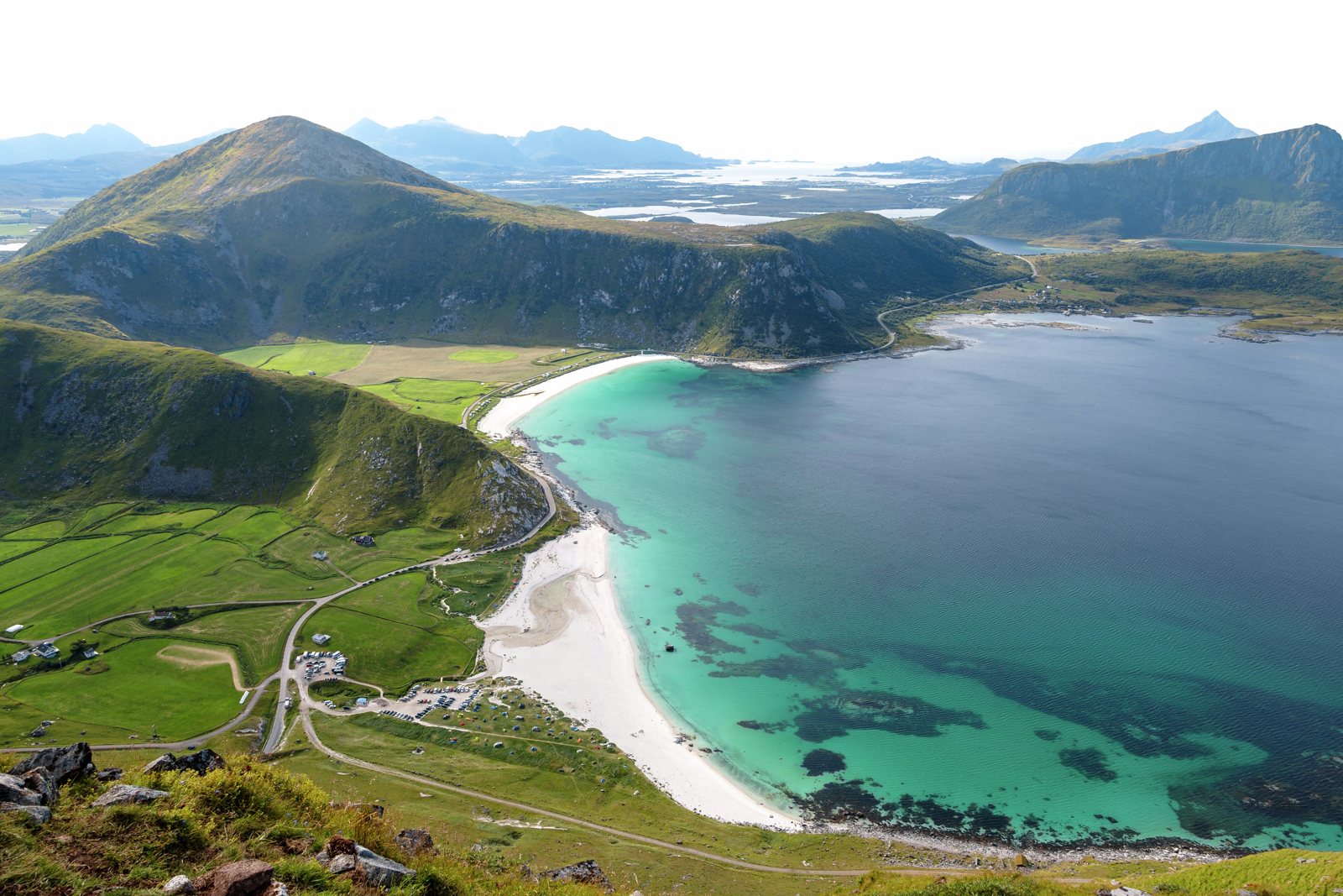
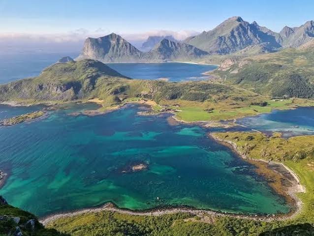
Offersøykammen
A shorter summit on the Leknes side, with the classic view down over the white sand at Haukland and Uttakleiv.
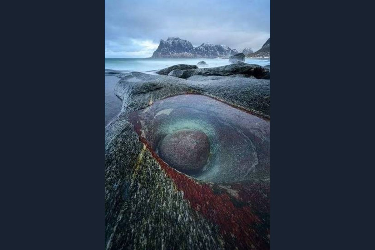
Utakleiv
The beach around the headland from Haukland, reached by the flat coastal path or a short drive over the pass.
Brunstranda
The surf beach — a sand beach on the outer coast a few minutes east of Ramberg, along the E10, with a surf rental in season. The same winter storms that shape the season build the best waves of the year here.
Yttersand
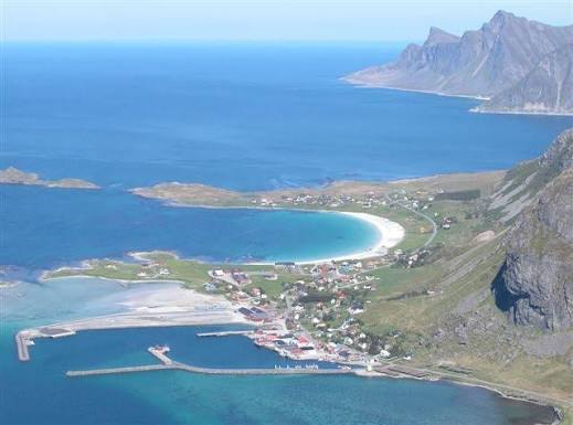
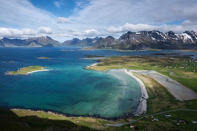
The beach at the end of the road past Fredvang, facing the open sea.
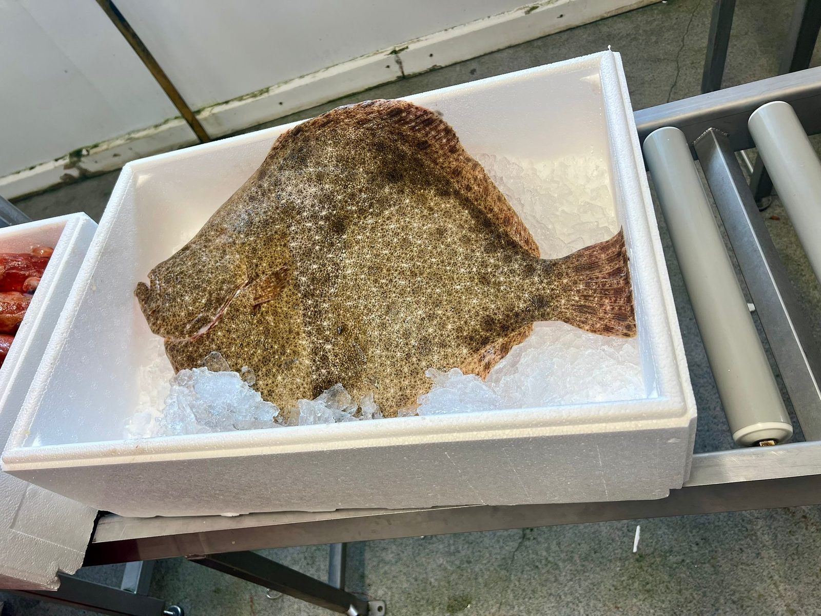
Fredvang marina
The fish landing in Fredvang, where the catch is sold straight off the boats. No luck on the fjord, or no boat that day — dinner solved.
Værøy
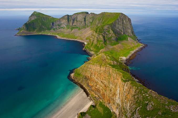
The island beyond the end of the road, out past Å — mountains straight out of the sea, a small village along the shore, and bird cliffs. Reached by ferry from Moskenes or Bodø.
Henningsvær
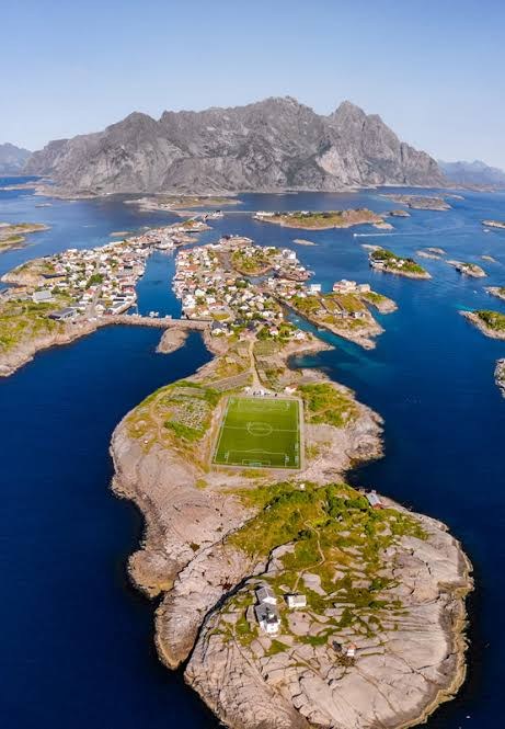
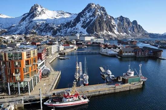
The fishing village spread over the skerries, with a working harbour and the famous football pitch on its own islet.
Svolvær
The town of Lofoten, at the eastern end of the islands — shops, restaurants and galleries, and the harbour for the Trollfjord boats.
Close by, in short
How far is the nearest shop?
Five minutes to Ramberg: grocery shop, café, restaurant, petrol and a doctor. The Bunnpris in Ramberg is open even on Sundays.
Which hikes are nearest?
Volandstind starts 1,805 metres from the door, measured. Reinebringen and Kvalvika are on this side of the islands, without driving back east first.
How far are Reine and Hamnøy?
About half an hour's drive west — Hamnøy first, then Sakrisøy, then Reine. Å, at the end of the road, is about three quarters of an hour.
Where do we buy fresh fish?
The fish landing in Fredvang, about a quarter of an hour away, sells the catch straight off the boats. No luck on the fjord that day — dinner solved anyway.
Can we surf here?
Brunstranda, the surf beach a few minutes east of Ramberg, has a surf rental in season. Winter builds the best waves of the year — cold-water surfing for the experienced.
Do we need a car?
For most trips, yes. The guide Do you need a car covers what the buses actually reach, the exceptions, and what free Type 2 charging at the house means if you rent electric.
How far is the airport?
Leknes airport is 35 minutes by car. Work on the Nappstraumen tunnel runs until December 2027, with convoy driving and night closures at times — check current times before an early flight.
When can we see the northern lights?
From mid-September onwards — often from the property itself. The northern lights guide covers how to watch.