Ryten
RYTEN · LOFOTODDEN NATIONAL PARK
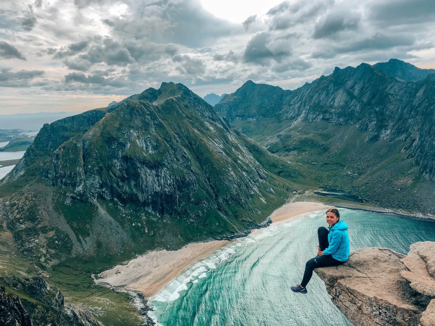
The summit above Kvalvika Beach — the viewpoint straight down onto the sand, and one of the most rewarding walks in the west for the effort it asks. The trail climbs gradually rather than brutally, which is rare here.
Route map
Elevation profile
The walk, in short
From the Innersand parking a good path leads in over the flats — boardwalks carry you over the boggy ground — and climbs steadily past the lake Forsvatnet, where the trail forks: left drops to Kvalvika Beach, straight on continues to the top. The last stretch is the steepest: a worn trail up Ryten’s grassy face, sheep grazing beside it, and then the ground levels out at the summit, 543 metres over the sea. Reckon about three and a half kilometres and around two hours one way, and a three-to-five-hour round trip depending on how long the edge holds you.
Near the top a small rock ledge juts over the drop — the photo everyone queues for on busy days. The cliffs are real: keep children by the hand, and give the edge the respect it asks for in wind.
Parking — the honest part
Innersand is the one
The arranged parking at Innersand, run by the local farm, is the main trailhead — paid, roughly a hundred kroner (more overnight), with toilets. Free parking is signed by the old Fredvang school, a longer walk in. Parking outside the marked areas is fined — up to around nine hundred kroner — and it is enforced.
Timing
Go early or late; the lot fills in season. In midsummer, “late” can mean walking up under the midnight sun — the summit faces the open sea straight north, which is exactly where the sun stands at midnight.
Make it a loop
Ryten and Kvalvika share the Innersand start and fork at Forsvatnet: up to the summit first, then down the fork to the sand, and out over the pass to Torsfjorden if someone can shuttle the car — or back the way you came. The full loop with the beach is a proper hike, not a stroll; plan it as one. The area lies in Lofotodden National Park — follow the signs, and expect trail work in summer where the path is being reinforced.
Season
Snow-free months are the easy answer. In winter this becomes a ski or snowshoe trip for the properly equipped — judge the conditions, not the calendar.
From the house
About twenty minutes’ drive to Innersand, over the Fredvang bridges. Sauna afterwards is not optional — it is the point.