Skjelfjorden
SKJELFJORDEN · FLAKSTADØYA
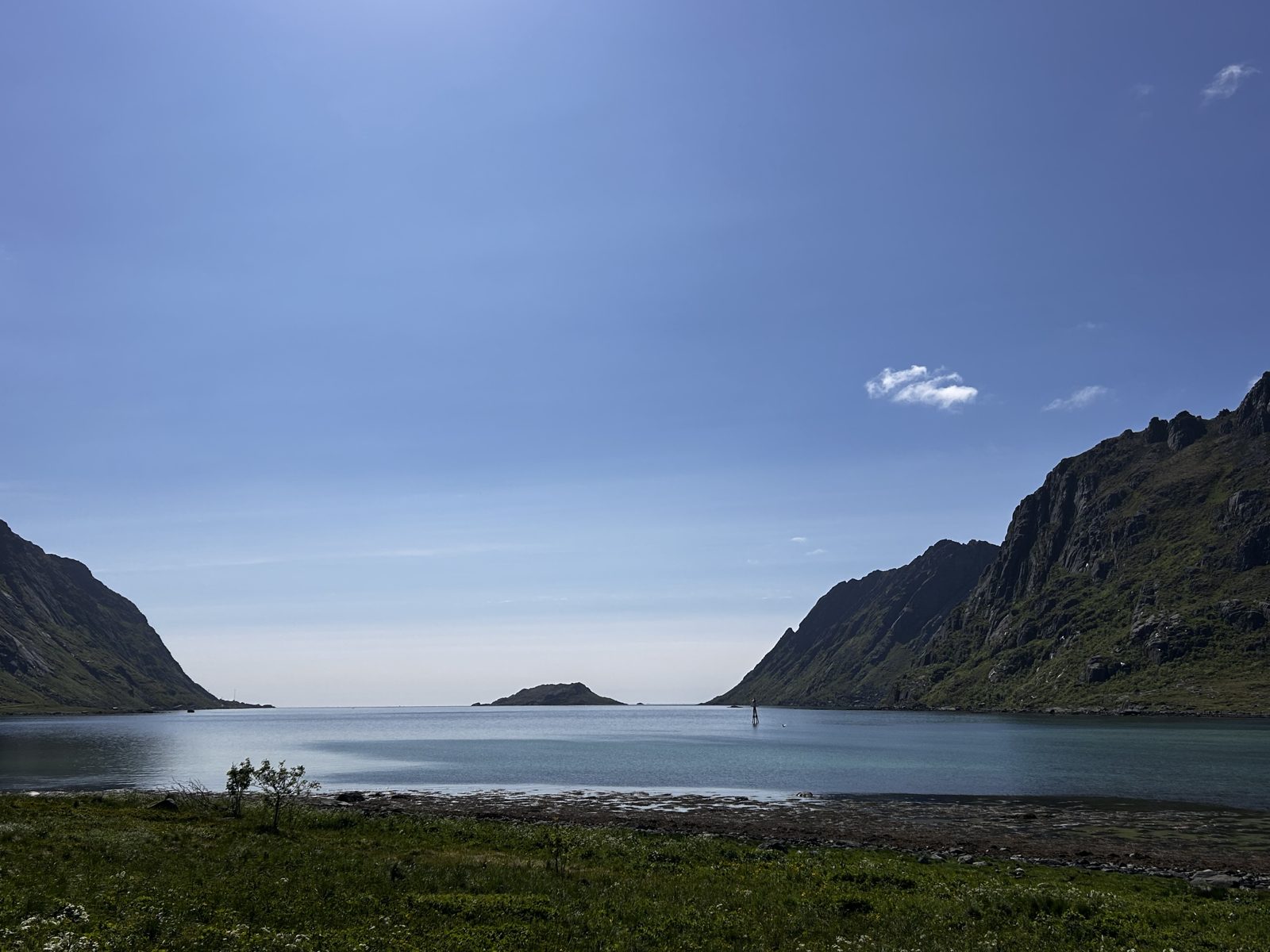
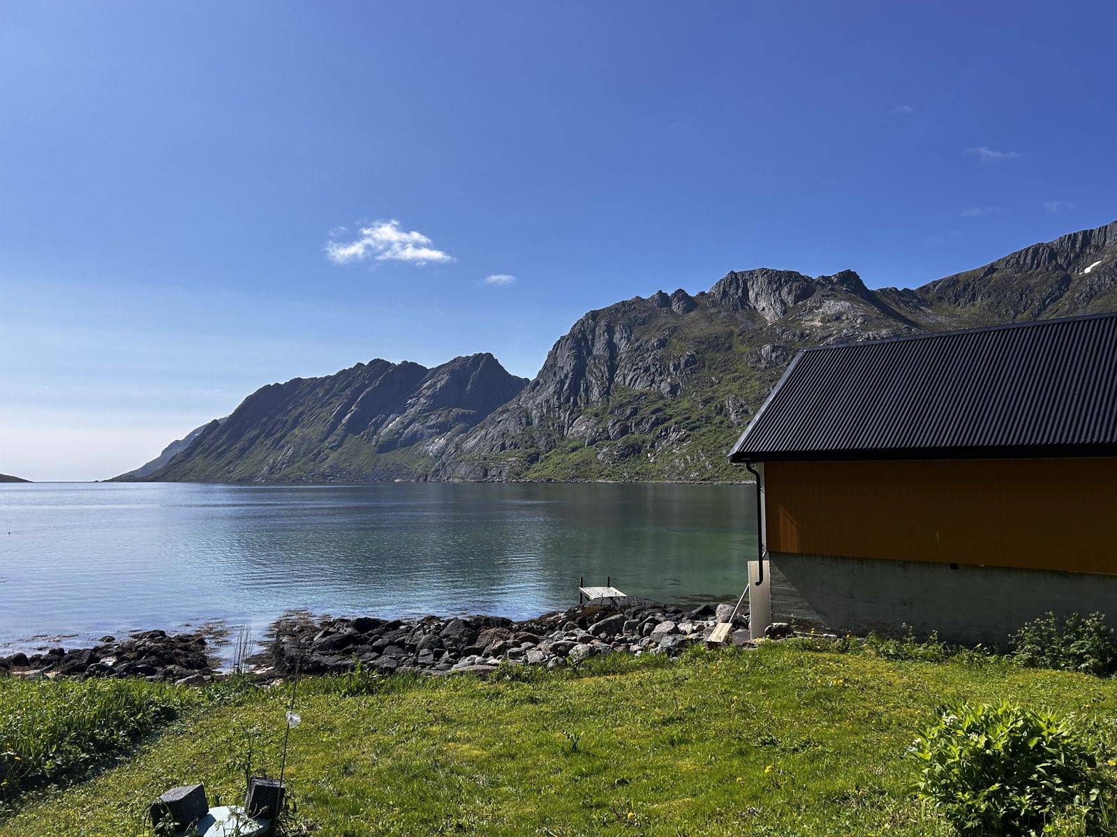
Casa Lofoten is on Flakstadøya, on a side fjord called Skjelfjorden. The community hall car park at the head of the fjord is where the Volandstind trail begins, and the fjord is the reason the house is not on the E10: the traffic goes past on the other side of the water. From here the famous places in the west are day trips rather than expeditions, and the practical ones — shop, petrol, doctor — are five minutes away in Ramberg.
Fishing from the shore
Skjelfjorden is a fishing fjord, and you do not need a boat to use it: a short walk from the house brings you to good spots for casting straight from the shore. Cod and saithe are the usual catch, the dock at the house has a gutting bench built for exactly this, and the chest freezer in the laundry room takes what you do not eat the same evening.
Some of our guests’ best fishing has happened without the boat at all — from the shore, a short walk from the door. Children fishing in the evenings turn up in our reviews for a reason.
Norway’s Scapa Flow — April 1940
The quiet fjord has one loud month in its history. In April 1940, Allied warships damaged in the battles of Narvik were towed or slipped into Skjelfjorden to be hidden and patched up — an improvised repair anchorage with about thirty vessels at its peak, among them the cruiser HMS Penelope. German aircraft found and bombed the fjord on 10 May 1940. A memorial to those events was unveiled in 2010, and remains of gun positions can still be found toward the outer fjord. Locals sometimes call it “Norway’s Scapa Flow”.
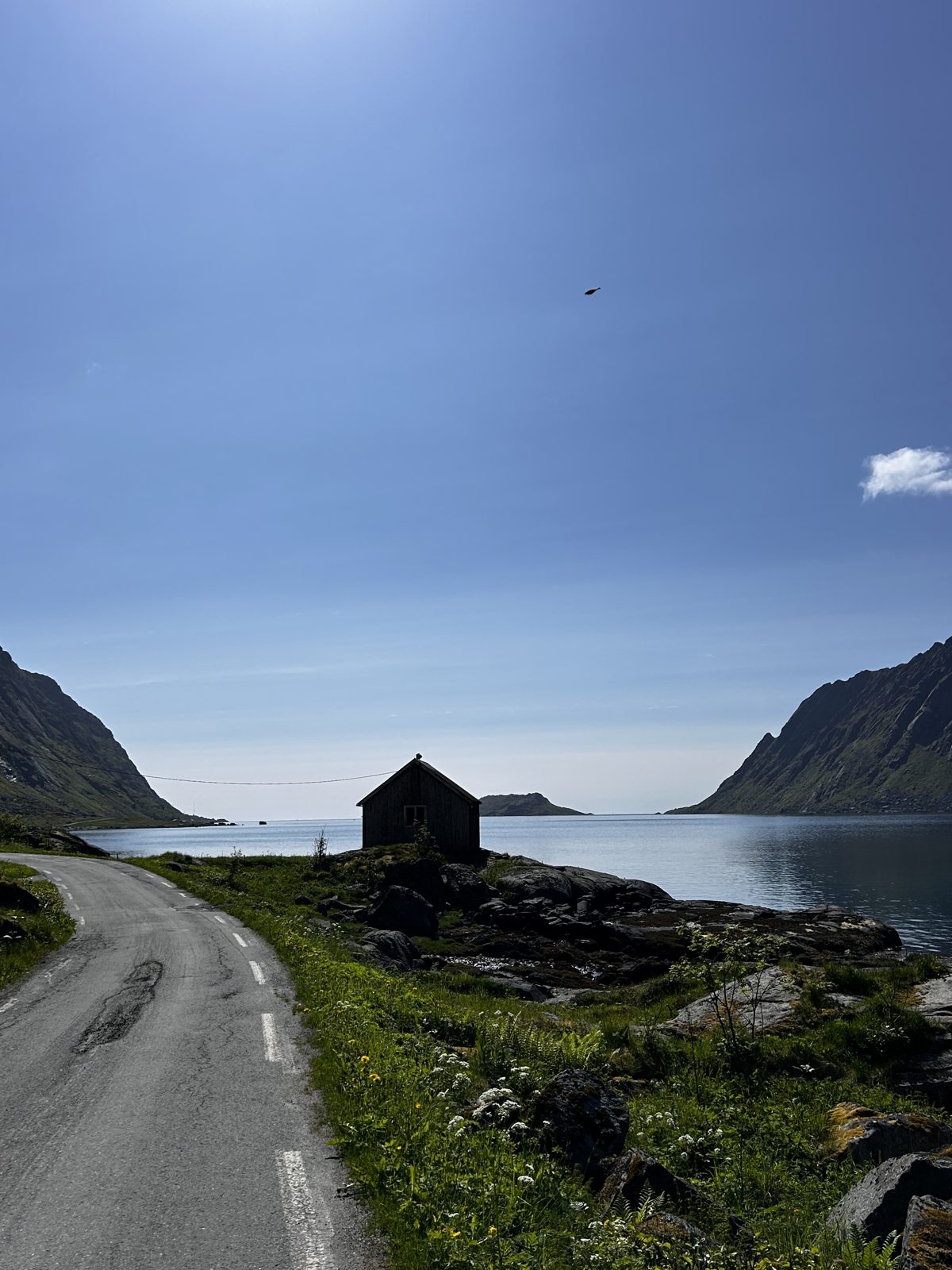
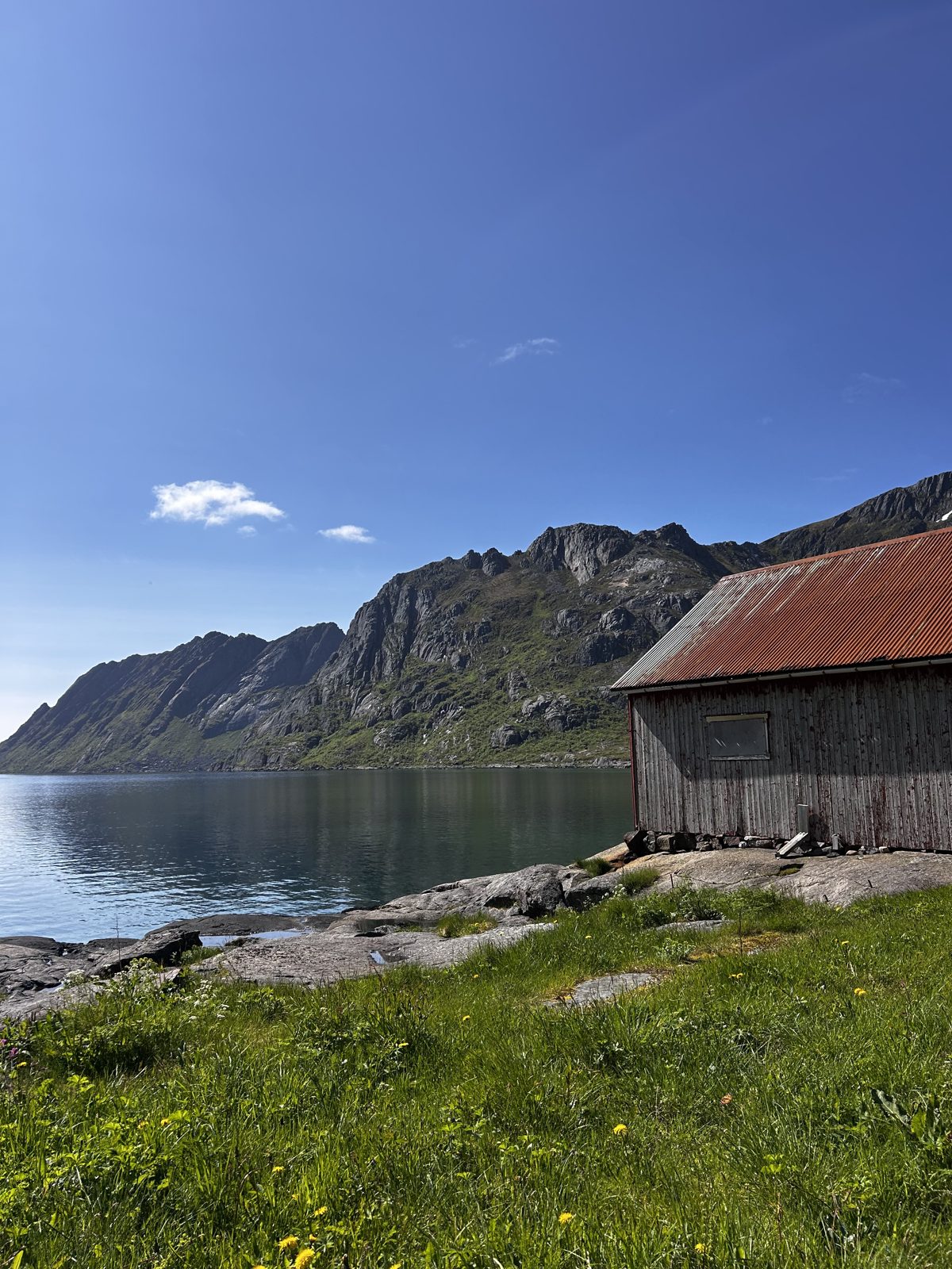
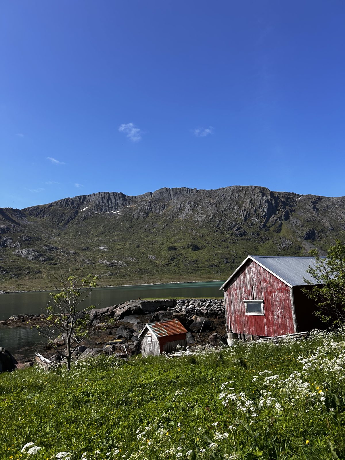
Along the fjord, out toward Kunna
The island at the mouth
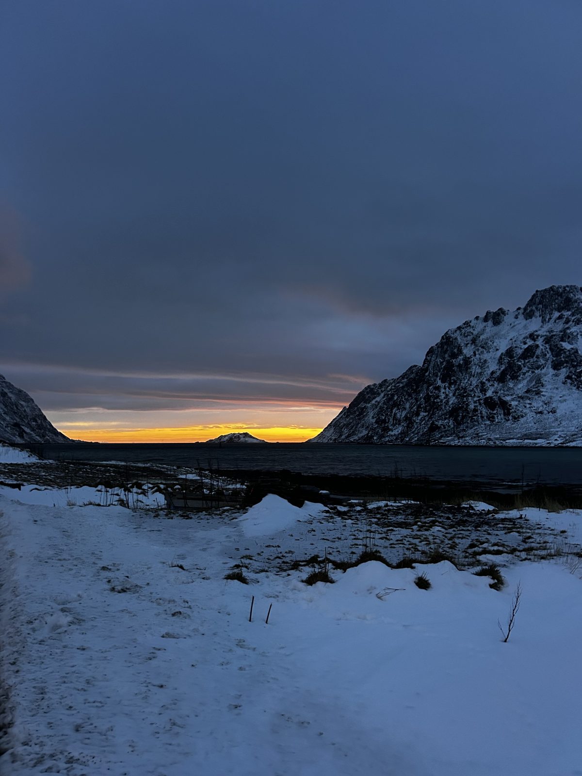
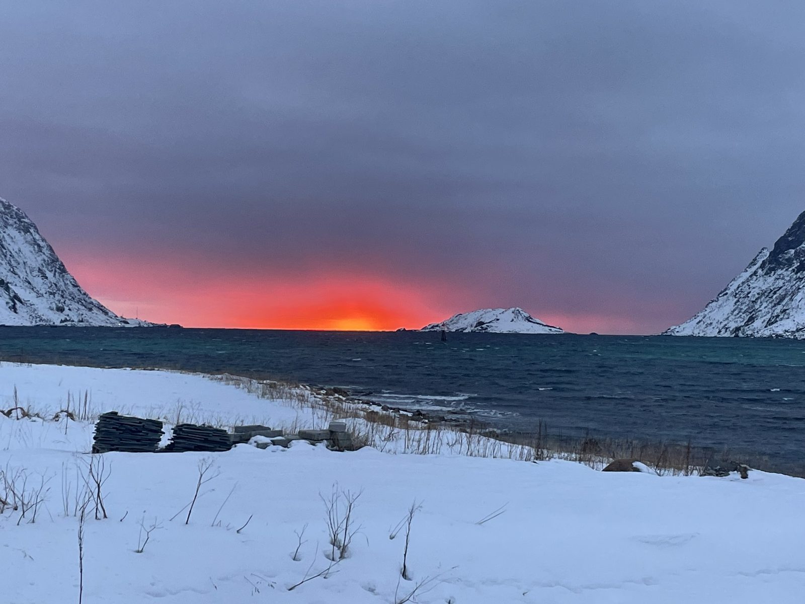
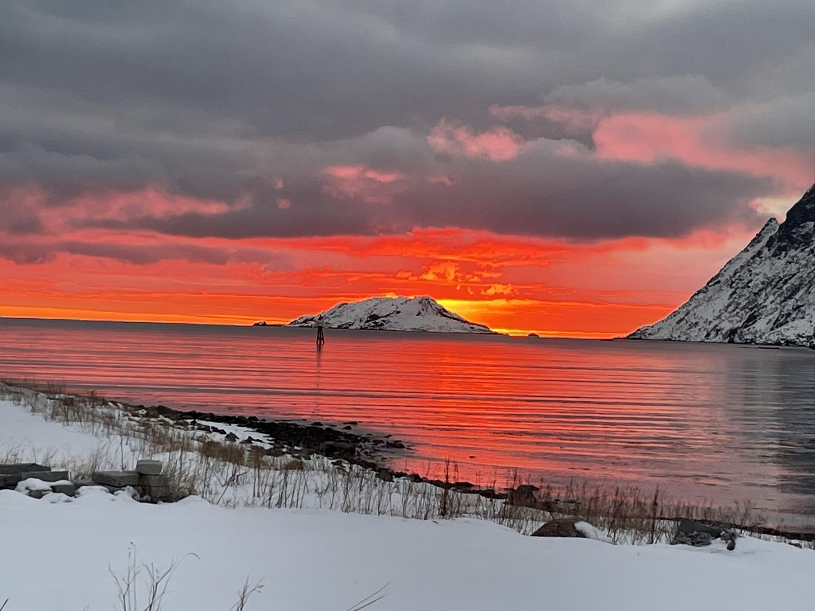
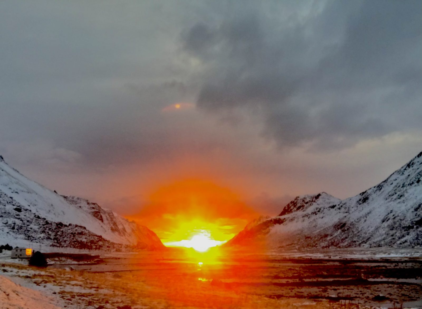
Kunna stands at the mouth of Skjelfjorden. On 13 December it was photographed from the beach at 12:11 — midday light just before the polar night sets in.
The mountain above
Volandstind rises over the fjord, and the trail starts at the grendehus car park — 1,805 metres from the door, measured. The full route guide.