Photography & Drone Rules in Lofoten: An Honest Guide from Local HostsPhotography & Drone Rules in Lofoten: An Honest Guide from Local Hosts
Can you fly a drone in Lofoten? Where do the photographs happen? Local hosts explain the rules — verified and dated — and the honest alternatives.Can you fly a drone in Lofoten? Where do the photographs happen? Local hosts explain the rules — verified and dated — and the honest alternatives.
Every week in summer, someone stands at the Kvalvika viewpoint with a drone in their backpack and a plan in their head. The shot they want — the white double beach from above, cliffs on both sides, the open sea beyond — is one of the most searched-for drone photographs in Norway.
It is also illegal to take.
So this guide starts with the question we are asked more and more often:
Can I fly a drone in Lofoten?
The short answer (verified August 2026): Yes — in most of Lofoten, if you are registered as a drone operator under the European (EASA) rules and follow them. No — in Lofotodden National Park, which covers the outer, wilder side of Moskenesøya, including Kvalvika, Ryten, Bunes and Horseid. Drones are prohibited there without special permission, and the ban is actively enforced. Near the airports at Leknes and Svolvær, a five-kilometre restriction zone applies. Rules change; check the current maps before every flight, and treat the date on any advice — including ours — as part of the advice.
The rest of this guide is in two parts: first the drone rules in useful detail, then the photography itself — where the pictures in the west actually happen, with or without a drone.
Part one: the drone rules
The rule that surprises almost everyone
Lofotodden National Park was established in 2018 and covers most of the northern and western side of Moskenesøya — which happens to be exactly where the most famous "drone shots of Lofoten" are taken from: Kvalvika, Ryten, Bunes, Horseid and the mountains between them.
Under the park regulations, drones are prohibited in the entire park unless the park board has granted special permission. The reasoning is the park's own purpose: drones disturb nesting and territorial birds, and they disturb the people who walked in for the silence. The prohibition covers both launching inside the park and flying in from outside it.
This is not a theoretical rule. The park administration receives reports of illegal drone flights at Kvalvika every season, and visitors — most of them tourists who simply did not know — have been fined for it. We would rather you hear it from us: the beach-from-above photograph of Kvalvika that fills your feed is either taken with a rare filming permit, taken illegally, or taken before 2018. Climb Ryten instead. Your own eyes at the edge do something no drone photograph does.
The basics, if you fly where it is allowed
Norway follows the common European drone framework (EASA), administered by the Civil Aviation Authority of Norway — Luftfartstilsynet. For the kind of flying a visitor does, the "open category" rules apply, and the essentials are stable and simple (verified against Luftfartstilsynet, August 2026):
- Register as a drone operator before you fly. Registration is required for any drone of 250 grams or more — and for lighter drones too if they carry a camera, which in practice means almost every drone worth packing.
- Maximum height 120 metres above the ground or water.
- Keep the drone within your own sight at all times (visual line of sight).
- Keep your distance from people who are not part of your flight. Never fly over gatherings of people. How close you may fly depends on your drone's weight class — when in doubt, more distance.
- Mark the drone with your operator number.
- Liability insurance is mandatory for anything beyond a toy.
- Night flying is allowed only with a flashing green light on the drone — relevant here, because in aurora season "night" is when you want to fly, and in midnight sun season there is no night at all.
There is no separate hobby exemption: recreational and commercial flights follow the same rules.
Visiting from abroad — two different situations
If you are registered as a drone operator in an EU/EEA country: your home registration and your EASA certificate are valid in Norway. You do not register again. Bring proof of both.
If you come from outside the EASA system — the USA, the UK, Canada, Australia and most of the world: your home certificates are not valid in Norway. You must register as an operator in the first EASA country you fly in — for Norway, that is done online at flydrone.no — and take the online course and exam for the basic category. Both are available in English and are designed to be manageable; plan for it before the trip, not the evening before the flight.
Both groups: foreign visitors flying with a camera must also register their use of photo and video sensors with the Norwegian National Security Authority (NSM) before flying — a separate, little-known requirement with its own online map of sensor-prohibited areas. It takes minutes; skipping it is the mistake even well-prepared pilots make.
The airport zones in the middle of the islands
Lofoten's two airports do not sit at the edge of things — Leknes and Svolvær both have airports in the middle of the islands, each surrounded by a restriction zone of five kilometres where drones need clearance. Central Vestvågøya and the area around Svolvær are exactly where visitors often want "just a quick flight," so check the map first, not after.
Before every flight, anywhere: check the current restriction maps. The community tool safetofly.no covers the aviation side for all of Norway, and NSM's own map shows the sensor-prohibited areas. Two minutes with the maps replaces most of the ways a drone holiday goes wrong.
Birds, reserves — and everyone else
Outside the national park, Lofoten is dotted with smaller nature reserves, several of them protected specifically for seabirds, where drone flying is banned by the reserve regulations. And even where nothing is formally protected, Norwegian law expects care: sea eagles, nesting shorebirds and grazing sheep all react to a drone long before you think they do. In nesting season — spring and early summer — the honest rule is to keep the drone away from cliffs, islets and shorelines with bird activity, full stop.
Then there is the layer no regulation writes down. A drone over the Reinebringen queue, over a beach where families are spread out on the sand, over someone's quiet evening — the drone has become the new umbrella: the thing its owner stops noticing and everyone else cannot ignore. Our test is simple. If there are people in the landscape who did not come to be in your shot, leave it in the bag. The still photographers around you will thank you, and so will the birds.
So where can you fly?
Honestly: in most of Lofoten outside the park, the reserves and the airport zones — over open coast and fjord, away from people and nesting birds, with the landowner's blessing where you launch and land. The west has plenty of legal sky. What it does not have is a legal version of the one shot everyone came for; that one you earn on foot.
Did you know? — from Casa Lofoten
The two drone photographs on our own site were taken a few metres above our own beach — house behind, fjord in front, nobody in the frame who hadn't asked to be there. A private shore is the most relaxed legal drone site there is: no crowd, no zone, no question about the landowner. → The property
Part two: where the photographs happen
You do not need a drone in Lofoten. The landscape does the elevation for you — every road bend is a foreground, every summit a tripod. What you need is the light, and the light here follows rules of its own.
Golden hours, not golden hour
In summer the sun does not set — it swings low along the horizon from west to north, reaching its lowest point around 01:00, and the "golden hour" stretches into golden hours through the late evening and early morning. The practical consequence: the classic light needs a free horizon to the west and north, which is exactly what the outer coast of the west provides. Plan photography evenings late, and see our midnight sun guide for the full geometry.
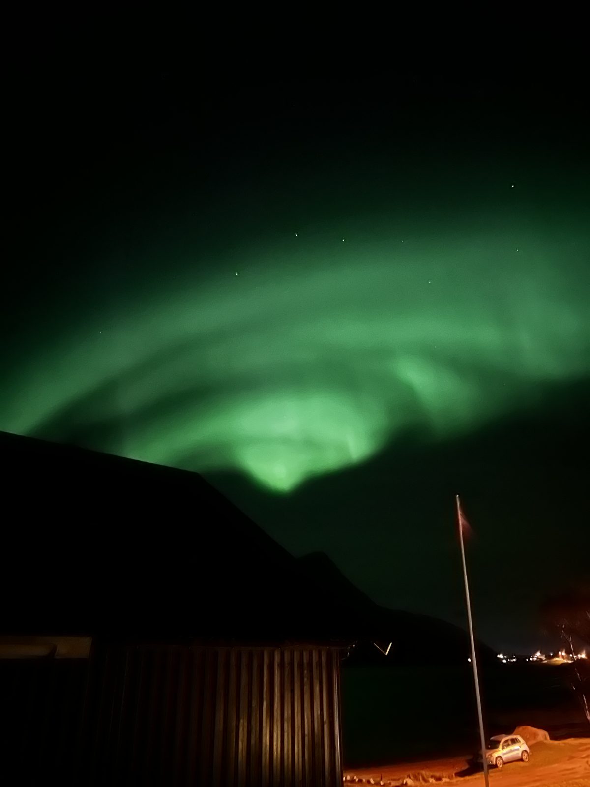
From mid-September the other season begins: aurora nights. Two of our house rules from the northern lights guide matter doubly for photographers. First, the camera sees more than the eye — on nights of low activity, a long exposure will show you an aurora you could barely detect yourself, so go out even when the forecast looks modest. Second, walk twenty metres past the last light source and let your eyes adjust — and never light a fire during an aurora watch; it ruins your night vision and everyone else's.
The spots in the west — and what they actually give you
Skagsanden — the tide is the subject. By Flakstad church, a few minutes from Ramberg. At low tide the retreating water leaves braided patterns in the dark-and-light sand; add wet-sand reflections and, from mid-September, the aurora above. Time it by the tide table, not the clock. On good evenings the tripods outnumber the people — arrive with patience and leave room in each other's frames.
Photograph to come — the tide patterns at Skagsanden (20–30 min away)
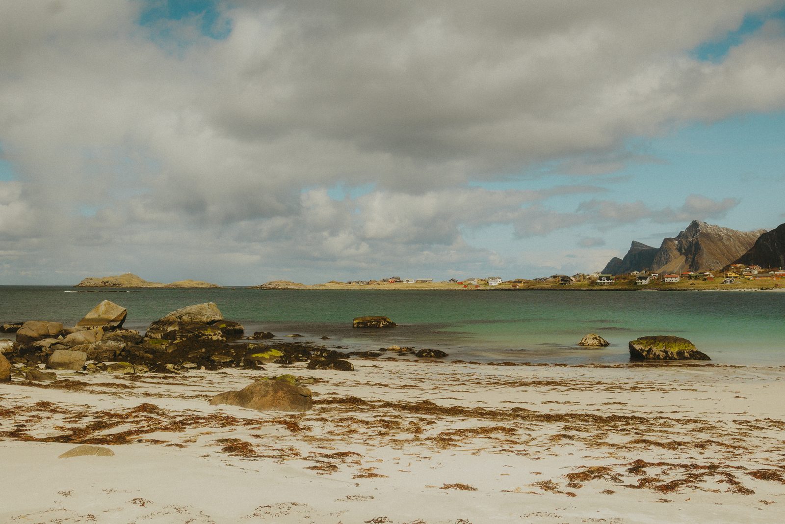
Rambergstranda — the midnight sun beach. It faces west, straight into the long evening light, with the village behind you and the open sea in front. The simplest great photograph in the west: park, walk a minute, wait for the sun to come low.
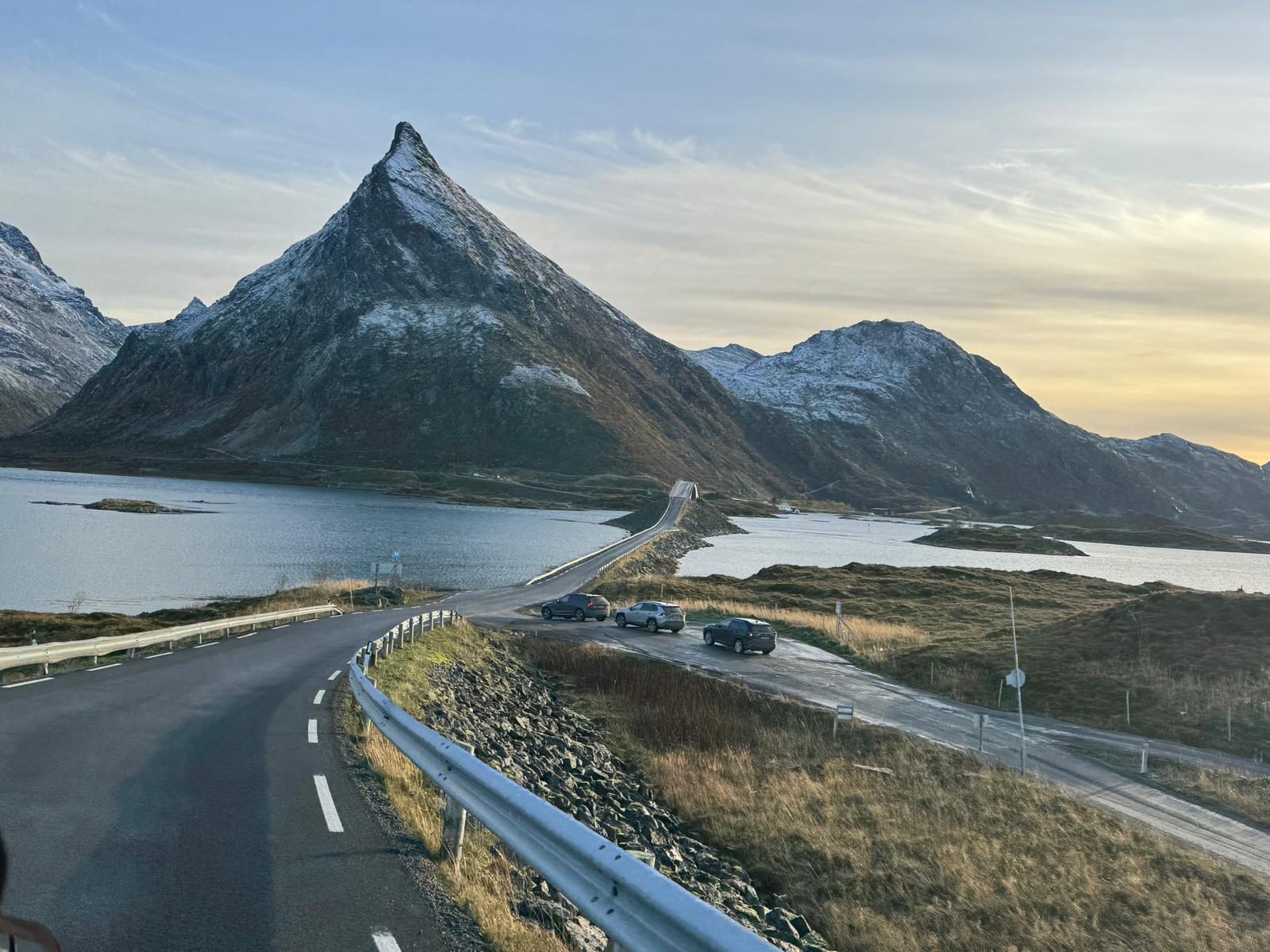
The Fredvang bridges — the pyramid shot. From the far side of the bridges, Volandstind stands behind them like a drawn triangle — one of the west's known motifs. You take this one from the roadside area, on foot, in evening light. (And if the mountain tempts you: the back side is a far easier climb than the front suggests. We have a full guide.)
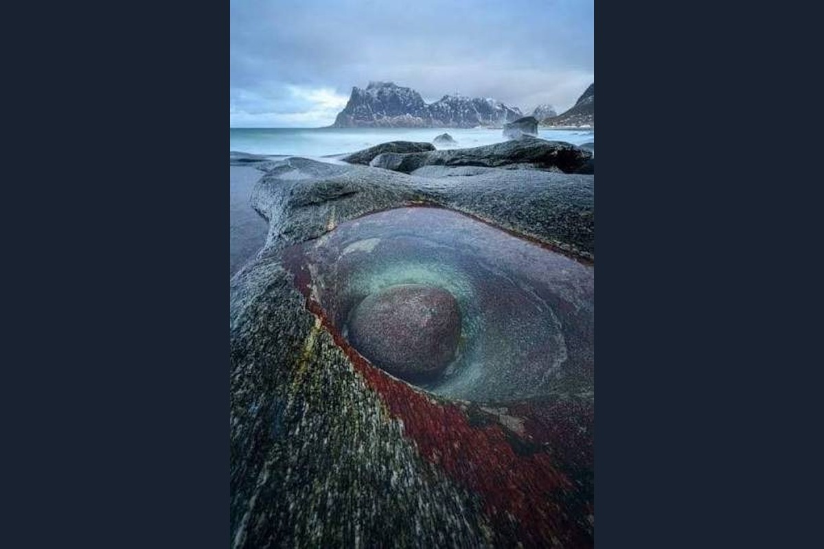
Uttakleiv — the stones. Open coast, rounded boulders, the heart-shaped pool, and nothing between you and the weather. Low light in summer, aurora in winter, drama in a storm — from a respectful distance. One small paid car park; roadside parking is forbidden and fined.
Temporary: the Nappstraumen tunnel works (until December 2027)
The undersea Nappstraumtunnelen — the E10’s only link between Leknes and the west of Lofoten — is being upgraded through the end of 2027. During work periods, daytime traffic passes in convoys behind a lead car, and the tunnel closes at night (roughly 23:00–06:00) with only limited let-throughs; queues can add up to an hour. The works pause around Christmas and for a period each summer. Check current convoy and closing times in the Statens vegvesen traffic app when you plan late or early drives.
Two habits that improve every photo trip here
Chase the weather sideways. The islands make their own micro-weather: rain on one side of a ridge, sun on the other. If your spot is grey, the answer is usually a 20–30 minute drive or an hour's wait — not a cancelled evening.
Park like a local. The famous photo stops are also the famous parking problems. Never stop on road verges or in passing places for a shot — fines are real, and the narrow roads need those spaces. If the car park is full, the spot is full; go to the next one. The photograph is never worth the tow.
Frequently asked questions
Can I fly a drone in Lofoten?
Yes, in most of Lofoten — if you are registered as a drone operator under the European (EASA) rules, keep below 120 metres, keep the drone in sight and stay away from people. No, in Lofotodden National Park (Kvalvika, Ryten, Bunes, Horseid and the outer side of Moskenesøya), where drones are prohibited without special permission, and inside the five-kilometre zones around Leknes and Svolvær airports. Verified August 2026 — check the current maps before you fly.
Can I fly at Kvalvika or Ryten if I'm careful?
No. The prohibition in Lofotodden National Park does not have a "careful" exemption, and it is enforced — visitors are reported and fined every season. The view from Ryten on foot is the legal version of the shot.
Do I need to register my drone as a tourist?
Yes, in practice. EU/EEA visitors use their home registration and EASA certificate. Visitors from outside the EASA system (including the USA and the UK) must register in an EASA country — for Norway at flydrone.no — and take the online course; foreign certificates are not valid. Foreign visitors must also register camera use with the Norwegian security authority (NSM) before flying.
Can I fly a drone at night for the northern lights?
Only with a flashing green light on the drone, outside prohibited areas, and with the drone still in your sight — which in darkness is a real limitation. Most aurora photography here is done better from a tripod on the ground.
What are the best photography spots in the west without a drone?
Skagsanden at low tide, Rambergstranda in the midnight sun, the Fredvang bridges with Volandstind behind them, Uttakleiv's boulders in low light — and any summit you are willing to climb. The viewpoints do the aerial work.
Can professionals get a drone permit for the national park?
Special permission can be applied for from the park board, and it is granted restrictively — production companies with a defined purpose sometimes receive it, holiday photography does not. Apply well in advance or plan without it.
When is the best light?
Late evening to early morning in summer — the sun is lowest around 01:00 — and the aurora season from mid-September to early April. The middle of a summer day is for scouting, swimming and sleep.
Shot from the doorstep
September aurora over the boathouse, midnight sun from the dock, an eagle over the beach if you are lucky — the photographs come to you here.