Loading the 3D map … it needs an internet connection.
Close to everything.
Next to nothing.
From here, the famous names become short trips: Reine and Reinebringen twenty-odd minutes away, Nusfjord and Kvalvika within easy reach, Å at the end of the road — and one summit, Volandstind, that starts on foot 1.8 km from the house. You are four minutes off the E10, but on a side fjord: close to everything, next to nothing.
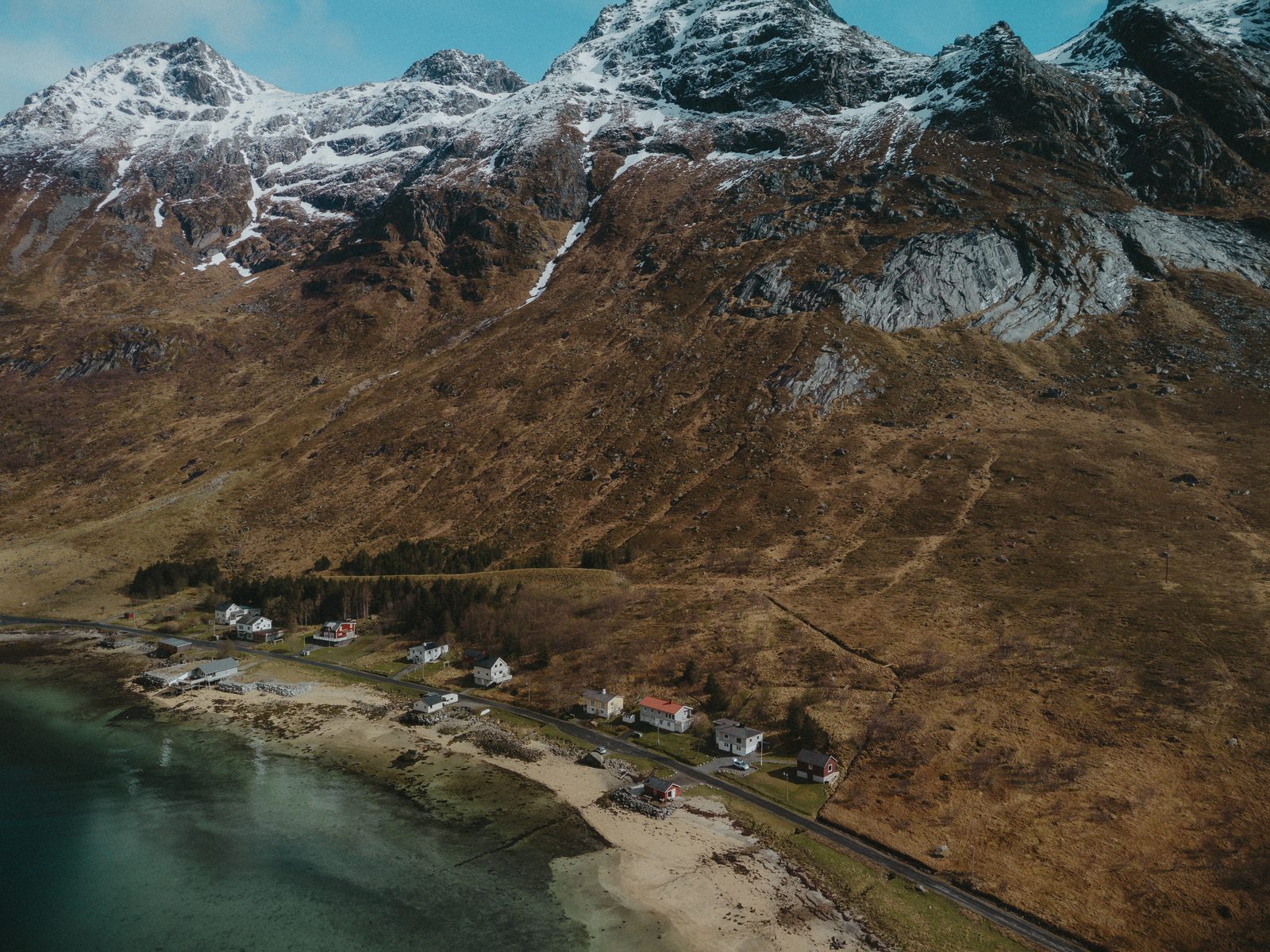
“The house sits on a side fjord, not directly on the E10 — quiet, with little passing traffic.”
“An excellent base for exploring the Lofoten islands, from Vestvågøy all the way to Moskenesøya.”
“Å, Nusfjord, Utakleiv… all within a short drive.”
“The perfect base also for exploring Lofoten, with many of the best hikes nearby and also great amenities (eg grocery and quality restaurants) nearby.”
Lofoten’s most famous places, within a half-hour drive
Casa Lofoten sits on a quiet side fjord in the middle of the west. The names people come to Lofoten for are all within a short drive — the nearest of them within minutes. All times are from the house, by car.
 5 min
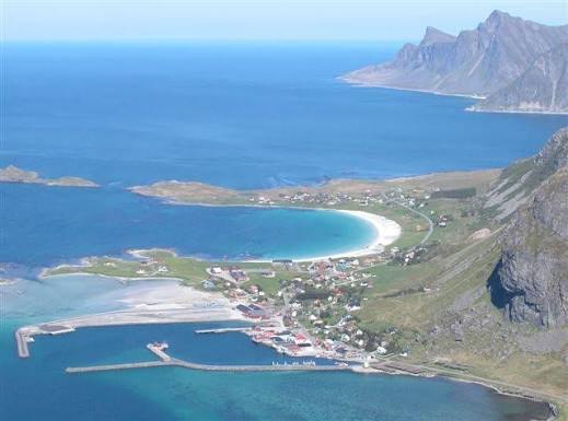
5 minRamberg
The nearest village — shop, café, petrol and a beach.
 20 min
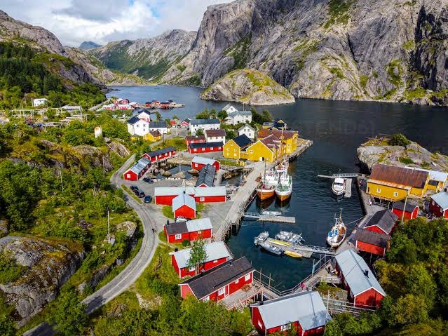
Nusfjord
One of Norway’s oldest and best-preserved fishing villages.
 ≈ 20 min
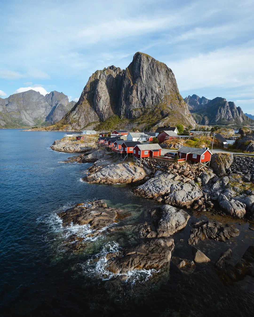
Hamnøy
The red cabins on the rocks — the most photographed spot in Lofoten.
 ≈ 20 min
Sakrisøy
The yellow cabins on the small island, and the fish shop.
 30 min
Å
The village at the end of the road.
 East · ≈ 1½ h
Henningsvær
The fishing village on the skerries, with the football pitch on its own islet.
 East · ≈ 2 h
Svolvær
The town of Lofoten — shops, galleries and the Trollfjord boats.
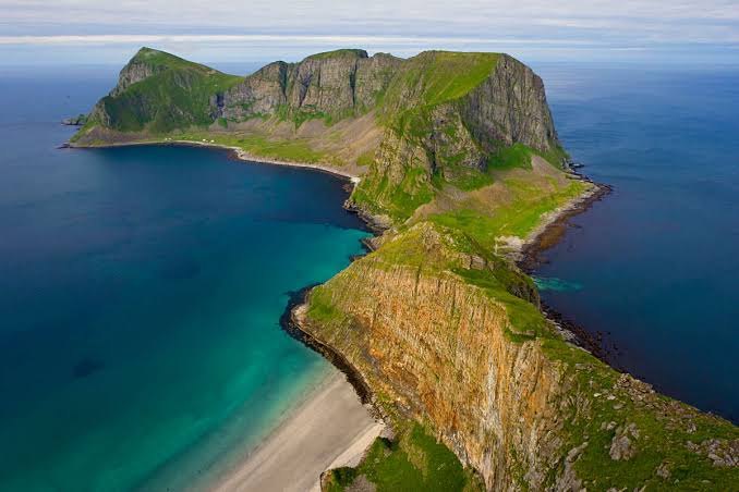 West · ferry from Moskenes
Værøy
The island beyond the end of the road — mountains straight out of the sea.
The neighbourhood — and a little beyond
Beaches, hikes and fishing villages — most of them within half an hour of the house, a few worth a longer day.

Skjelfjorden
Casa Lofoten sits on Skjelfjorden, a quiet side fjord on Flakstadøya. The E10 runs along the far shore, so the traffic goes past on the other side of the water and our side stays still. It is a fishing fjord, and you do not need a boat to use it: a short walk from the door brings you to good spots for casting from the shore, with cod and saithe the usual catch, and the dock at the house has a gutting bench built for exactly that. Out at the mouth stands the small island of Kunna, which catches the last of the midday sun before the polar night. At the head of the fjord, by the community hall, the Volandstind trail begins — 1,805 metres from the door, measured.
Ramberg
The nearest village, and the reason the location is workable rather than merely scenic. Ramberg is the administrative centre of Flakstad municipality, which is why a village of a few hundred people carries a full practical kit: the Bunnpris grocery shop, open on Sundays in high season and doubling as the local medicine outlet, a petrol station, a café and restaurant, tourist information and a doctor. Milk you forgot is a five-minute errand, not a forty-minute round trip. Below the village lies Rambergstranda, the long white beach that faces west into the open sea.
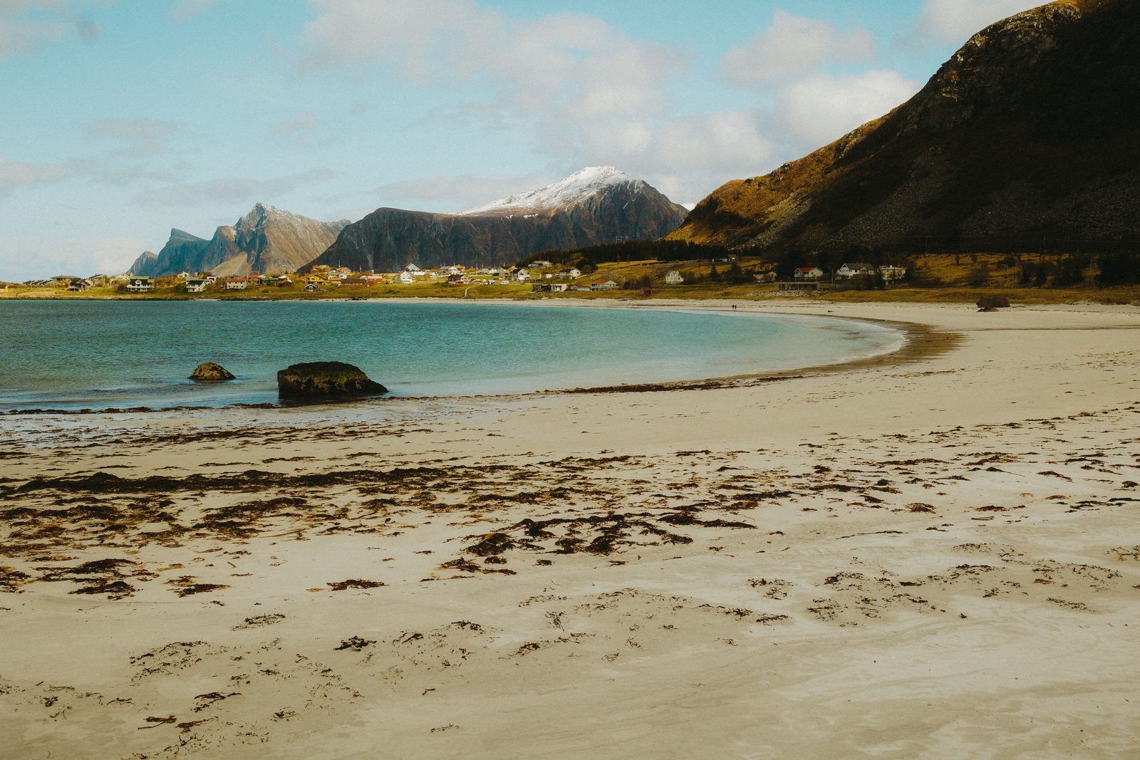
Rambergstranda
The long white beach directly below Ramberg, facing west into the open sea. That direction is the point: in June the midnight sun touches the water here without your climbing anything, and in aurora season the horizon is dark and open. It is a beach for twenty minutes at whatever hour the light turns good — a sand walk in summer, wave-watching after an autumn storm, a headlamp in your pocket for the walk back to the car in winter. The sea is cold all year; for a dip with a sauna attached, the beach at the house is the one.
Volandstind
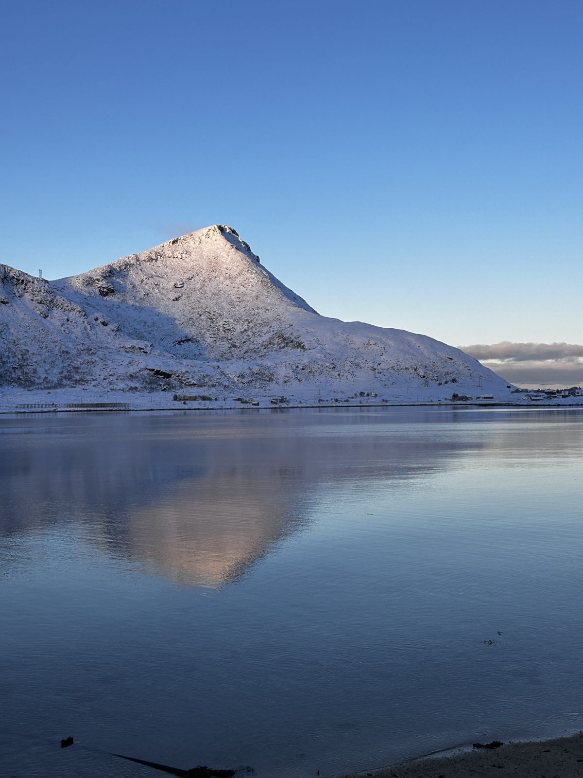
The mountain you can walk to from the house. The trailhead by the yellow community hall in Skjelfjorden is 1,805 metres from the door — a 20–25 minute walk, or two minutes by car — and from there it is about two kilometres to the 457-metre summit, two to three hours return. Fifteen minutes in you reach a gapahuk, an open timber shelter with a view over the fjord and its own small outdoor library; for groups with small children that is a complete outing in itself. Above it comes one properly steep stretch, then the ridge and the top, with a full-circle view of Kvalvika, the Fredvang bridges, the open sea and Rambergstranda. Seen from Fredvang this is the sharp pyramid behind the bridges; from our side it is a much friendlier climb, walkable all year for the properly shod, and rarely shared with more than a handful of people.
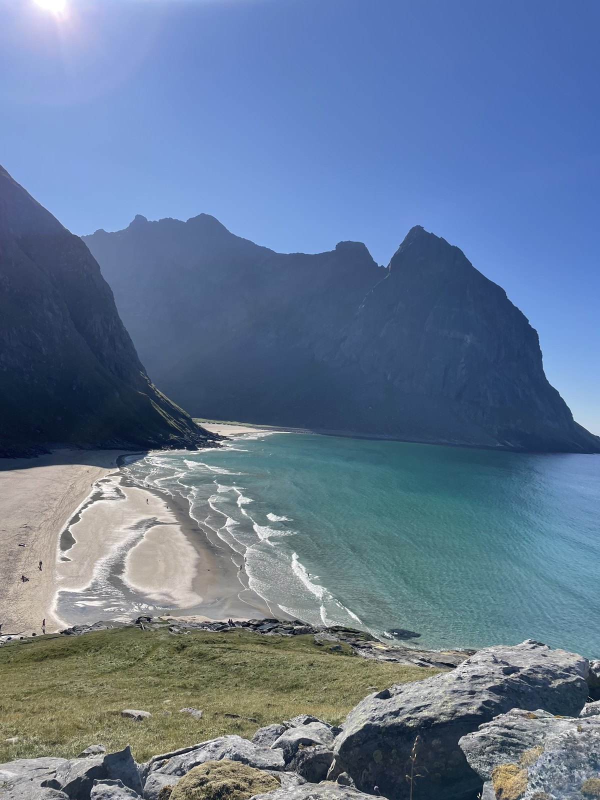
Kvalvika Beach
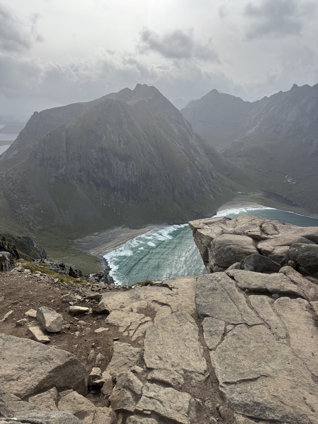
A beach with no road to it, in Lofotodden National Park on the outer side of Moskenesøya. Everyone arrives on foot over a pass, which keeps it quiet even in July. There are two ways in, both reached over the Fredvang bridges: the shorter route from Torsfjorden, with a rough, hands-on descent to the sand, and the longer, gentler path from the Innersand parking on the Yttersand road, where boardwalks cross the bogs and stone steps now carry the last stretch down to the beach. The Torsfjorden rest stop has only a handful of spaces, so the national park points cars to Innersand or the old Fredvang school. The beach faces the open sea, the water is cold and there are no facilities — go early or late, and let the sauna do the rest.
Ryten
The summit above Kvalvika, 543 metres straight up from the sand, and one of the most rewarding walks in the west for the effort it asks. From the Innersand parking a good path leads in over boardwalks and climbs steadily past the lake Forsvatnet, where the trail forks: left down to the beach, straight on to the top. Reckon about two hours up. Near the summit a small ledge juts over the drop — the photo everyone queues for — and the cliffs are real, so keep children by the hand and respect the edge in wind. The newly built stone staircase between Kvalvika and the Forsvatnet fork means you can walk down to the beach first and climb to Ryten from the sand — a proper day, not a stroll.
Reinebringen
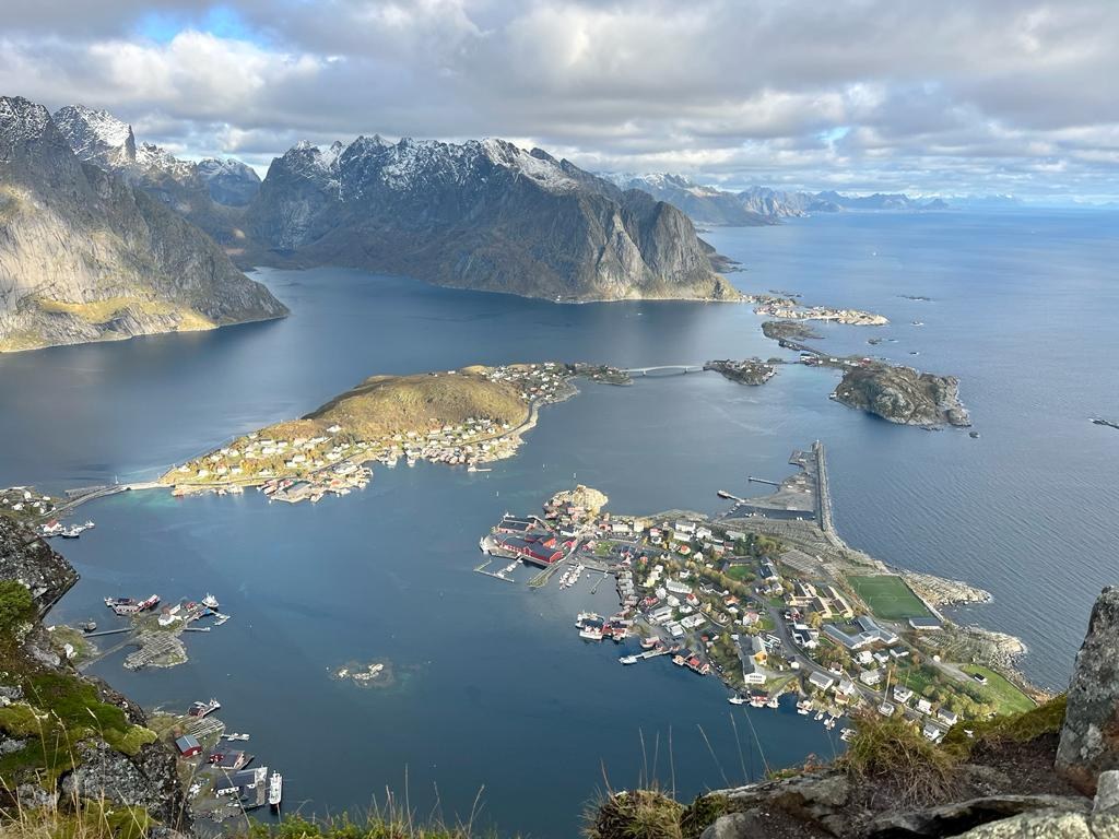
The staircase above Reine, and the view that made Lofoten famous: Reine, Hamnøy and Sakrisøy laid out beneath you, the Reinefjord threading between the peaks. The price is more than two thousand stone steps to the 448-metre top, built by Nepalese sherpas from 2016 after the old path eroded and rockfall was injuring hikers; the last stretch above the steps is bare earth and stone. Parking around Reine fills fast and the steps move at queue pace on fine summer days, so go early or late — sunrise is our answer. The municipality chains the staircase off outside the season: treat it strictly as a May-to-September hike, on a dry day. From the house it is close enough to be there for first light.
Nusfjord
One of Norway’s oldest and best preserved fishing villages, folded into its own cove on the east side of Flakstadøya: red and yellow buildings on stilts around a working harbour, the general store from 1907, the old cod-liver-oil works, the sheds and rorbu cabins. It looks the way it does because it stayed in one family’s hands for generations and, in 1975, was chosen as one of three Norwegian pilot projects for preserving old wooden buildings. Today there is a restaurant, a café in the old store and a bakery; there is an entrance fee in season, which funds the upkeep. The coastal path in from Nesland is the better arrival — the village opens up in front of you instead of appearing through a windscreen.
Nesland
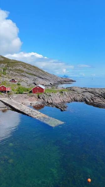
A small cluster of houses at the water on the outer side of Flakstadøya, at the end of its road, reached from the E10 by the side road via Sund. Nesland has been a fishing hamlet for centuries, and it is quiet in the way only road-ends are: a few boathouses, sheep, the open sea in front. On the farm at Østre Nesland stands what is said to be Lofoten’s only water mill, restored, and a short detour by the shore leads to glacial potholes worn into the rock. Where the tarmac gives up, the old fishermen’s path along the coast to Nusfjord begins.
The walk from Nesland to Nusfjord
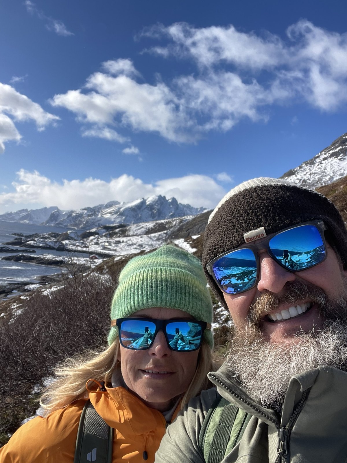
The coastal path between Nesland and Nusfjord follows the shoreline the road never reaches — the old fishermen’s trail between the two villages. Do not let “coastal walk” suggest a stroll: about five kilometres one way in a steady series of small climbs and drops, with a short boulder field where you use your hands, one steep step with a chain to hold, and wet ground after rain. Allow two to three hours one way. The route is marked with red T’s, clearest walked from Nesland toward Nusfjord, which is also the direction with the better finish. It is our choice for a fog day, when the summits have nothing to show. And our ritual at the far end: a table booked in Nusfjord — ask for the window table — and dinner looking over the harbour.
The Fredvang bridges
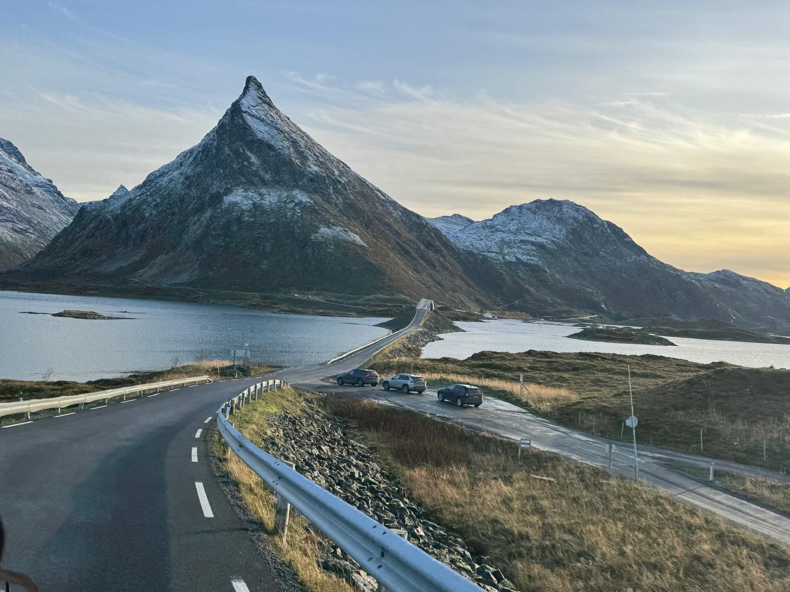
The two cambered bridges that arc over the sound to Fredvang, opened in 1988 and each about 240 metres long — with Volandstind rising behind them. This is the classic view of the mountain, photographed from the roadside every day; the house, and the far friendlier route up, are on the other side. The bridges are narrow and the road across them is live: never stop on the bridges themselves. Pull fully off at the marked spots on either side and walk back for the shot, early or late for the kindest light. Beyond them the road continues to the Kvalvika and Ryten trailheads and ends at the beach at Yttersand.
Reine
The village most people picture when they picture Lofoten: red cabins on the rocks, the peaks of Reinefjorden behind, and the white wooden church from 1890 above it all. It is also the last full stop of the west, with a grocery shop and several places to eat before the road runs out at Å. Beyond the photographs, the passenger boat from Reine runs into Reinefjorden to Vindstad, from where an easy walk of about an hour crosses to Bunes, a huge, roadless beach facing the open sea; watch the timetable, because the boat is the only way back. Kayak rentals work the same mirror water. And Reinebringen climbs straight out of the village.
Hamnøy
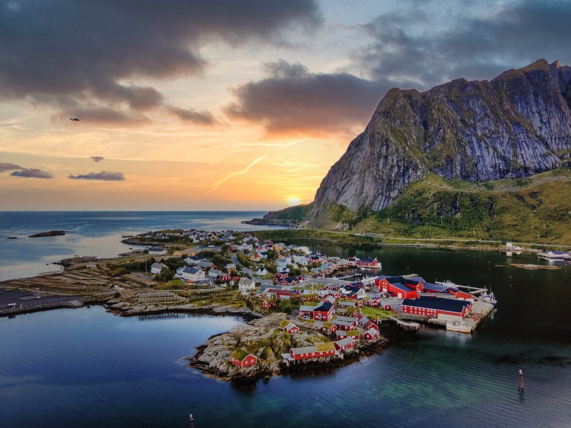
The red cabins on the rocks at the first bridge before Reine — probably the single most photographed spot in Lofoten. The classic frame is taken from the walkway on the E10 bridge just past the village: cabins in front, the wall of peaks behind, and in winter, with luck, the aurora over the lot. Photographers line the railing at first light in season; outside the golden hours you can have it to yourself. Park at the marked spaces, never on the bridge. The cabins are working accommodation, among the oldest rorbu operations in Lofoten with the first dating from around 1890, and there is a restaurant in the complex. Sakrisøy and Reine are minutes further on; the three make one unhurried afternoon.
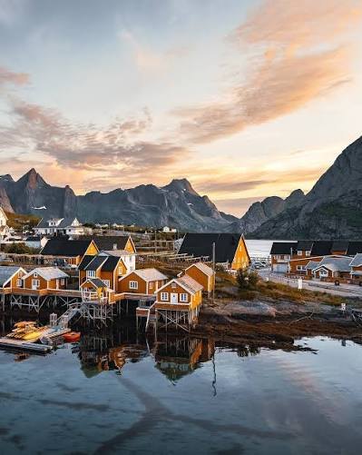
Sakrisøy
The small island between Hamnøy and Reine, known for its ochre-yellow cabins among the red ones, under the peak of Olstind. Most people come for lunch: Anita’s Sjømat is a seafood bar and delicacy shop run by a family born on this island, who have worked here for many years, with the famous fish burger, a fish soup people argue about, and a counter of smoked and dried fish to take home. Plan it as lunch, not dinner. The yellow rorbu cabins around it date from the 1870s, and in spring the racks by the road fill with drying cod. Park at the marked spaces and walk.
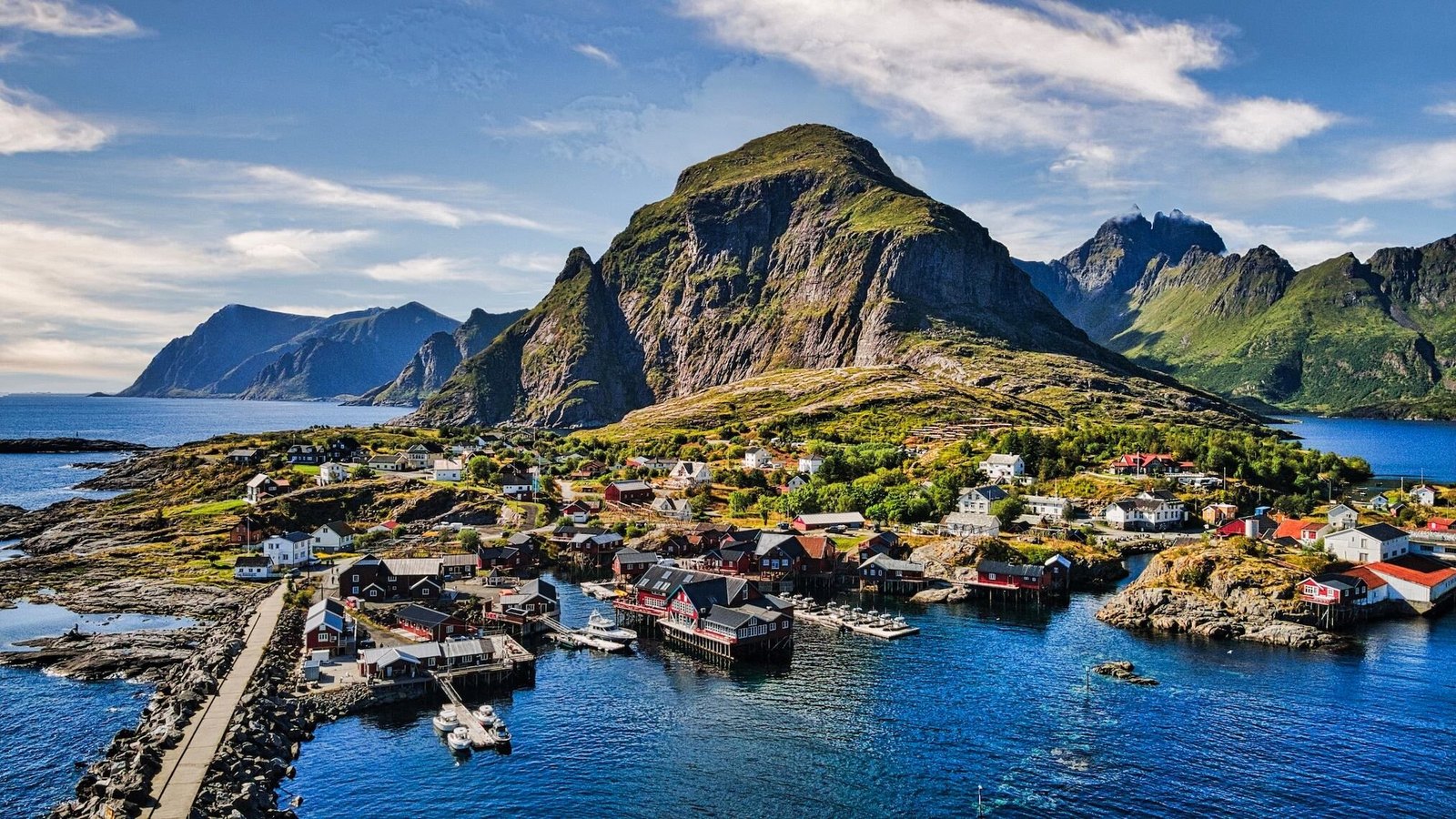
Å
The village at the end of the road, where the E10 stops at a car park and the sea takes over. Å is a preserved fishing village more than a village with a museum in it: dozens of the buildings are listed, and the Norwegian Fishing Village Museum uses the old estate itself — the boathouse, the smithy, the post office, the crofter’s cottage, the cod-liver-oil works — to show how the Lofoten fishery worked from about 1840 to 1960. Its bakery, in use since the 1840s, still bakes cinnamon buns in the old stone oven in summer. Around the corner, the Lofoten Stockfish Museum fills an old fish-landing station with the wind-dried cod that has gone to Italy for centuries. The name is the last letter of the alphabet, and Old Norse for river. Park at the big lot through the tunnel and walk in.
Hauklandstranda
White sand and clear turquoise water on the outer side of Vestvågøya, ten minutes from Leknes — a beach that has been voted Norway’s finest, and looks it. The bay is broad and shallow, backed by grass and steep peaks; in summer there is a beach café and kayak and paddleboard hire, and the parking is paid. From the beach an old coastal track runs flat around the headland to Uttakleiv, about an hour each way with the sea beside you the whole time. For the view from above, Mannen rises straight behind the sand. Hauklandstranda makes a natural half-day on the way to or from the airport.
Offersøykammen
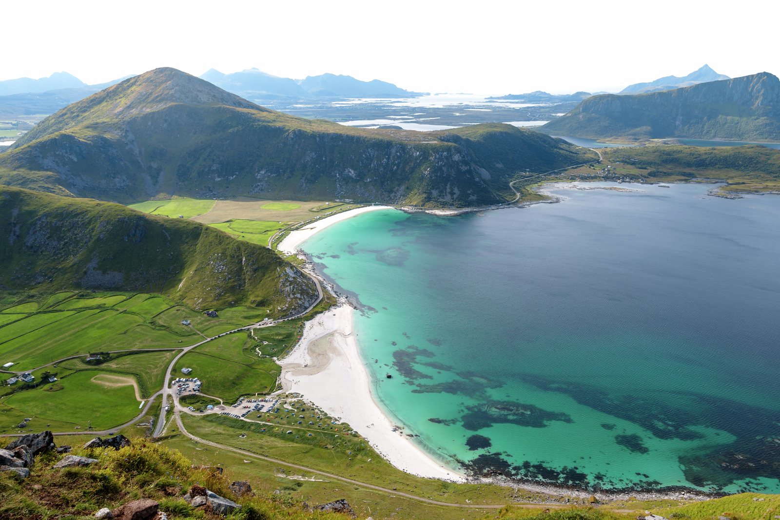
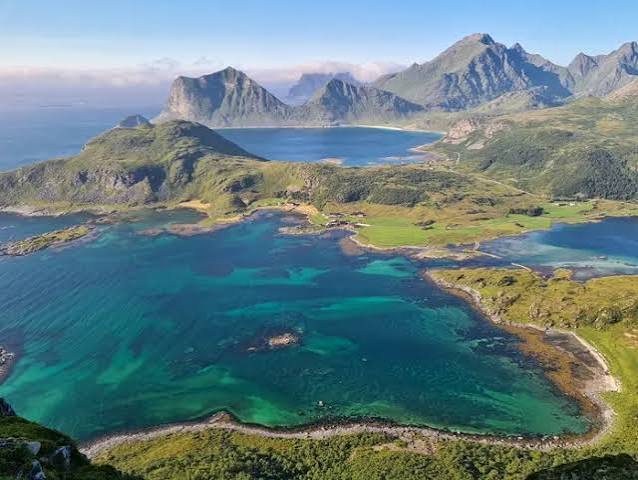
A short summit on the Leknes side of the Nappstraumen tunnel, 436 metres, with a view out of proportion to the effort: the strait below, the white sand of Haukland and Uttakleiv, Leknes, and peaks in every direction. The start is steep, then the trail eases onto an open plateau; reckon about an hour up and two hours for the round trip. It is popular with locals but rarely crowded, and the top faces the open sea to the north and west — one of the good midnight-sun summits in this part of Lofoten. Park at the Skreda rest area on the scenic route and walk back along the road to the trail.
Uttakleiv
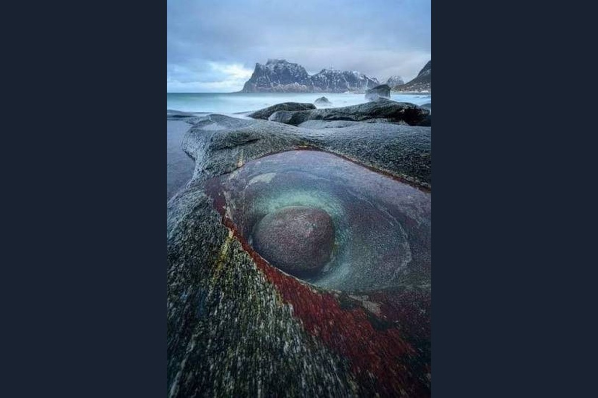
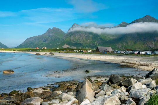
The beach around the headland from Hauklandstranda, reached by the flat coastal path or a short drive through a narrow single-lane tunnel. Uttakleiv faces north into the open sea, which makes it one of the classic places to watch the midnight sun, and it is famous among photographers for the rounded boulders and the Dragon’s Eye — a glacial pothole in the rock with a stone at its centre, best at low tide. Green pastures run right down to the sand, sheep graze behind the dunes, and the parking is paid, with basic toilets and no café, so bring what you need. Walk back to Haukland along the shore and you have both beaches in one gentle loop.
Brunstranda
The surf beach of the west, a few minutes east of Ramberg along the E10. Lofoten Beach Camp runs it: surf lessons and board and wetsuit hire, a beach bar for the after-surf hour, and a sauna you can book a few steps from the water. It is counted among the safest beaches in Lofoten to learn on, and you do not need to have surfed before — beginner lessons are the point of the place. Winter is, for a hardy few, the best season: the same storms that shape the rest of the year build the best waves here, cold-water surfing for the experienced. The rest of us watch from the sand with a thermos.
Yttersand
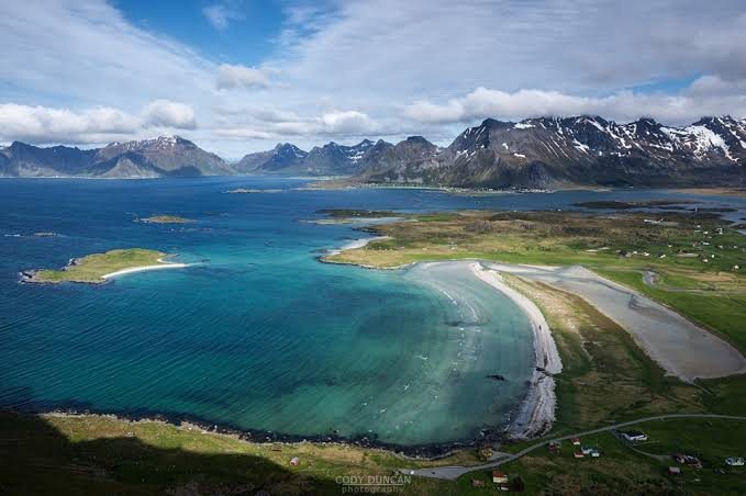
The beach at the end of the road past Fredvang, on the northern tip of Moskenesøya, facing the open sea. At high tide it is a narrow strip of white sand; at low tide it opens into wide, rippled flats, with the small island of Sandøya just offshore. There is a tiny car park where the road ends and nothing else, which is part of the appeal. From here an easy coastal walk follows the shore — the same way back — and the low ridge of Røren above the beach gives the view over the whole bay in a couple of hours. The Innersand parking for Kvalvika and Ryten is on the same road.
Fredvang marina
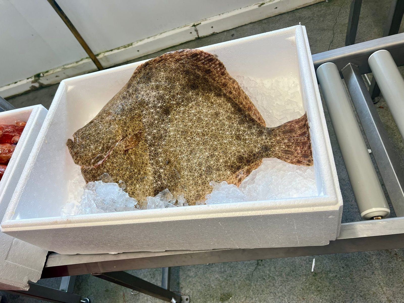
The fish landing in Fredvang sells the local catch. Skjelfjorden and the waters around it hold cod, saithe and more, and if the fjord gave you nothing that day — or you had no boat — dinner is solved here. Opening hours and what’s on offer depend on when the boats come in and what they have caught. Payment is by Vipps only (a Norwegian mobile payment app). Back at the house, the dock has a gutting bench built for exactly this, and the chest freezer in the laundry room takes the rest.
Værøy
The island beyond the end of the road, out past Å — mountains straight out of the sea, a small village along the shore, bird cliffs, and the feeling of a different country. The car ferry from Moskenes, ten minutes past Reine, takes about an hour and a half; departures are few and change with the season, so build the day around the timetable — morning boat out, evening boat home — and book ahead in summer. The classic walk is Håheia, about an hour up on a good path to the famous viewpoint over the village and the Vestfjord. Beyond lies Måstad, the abandoned village under the puffin cliffs, where islanders once caught sea eagles by hand and bred the Lundehund to fetch puffins. The boat is the only way home.
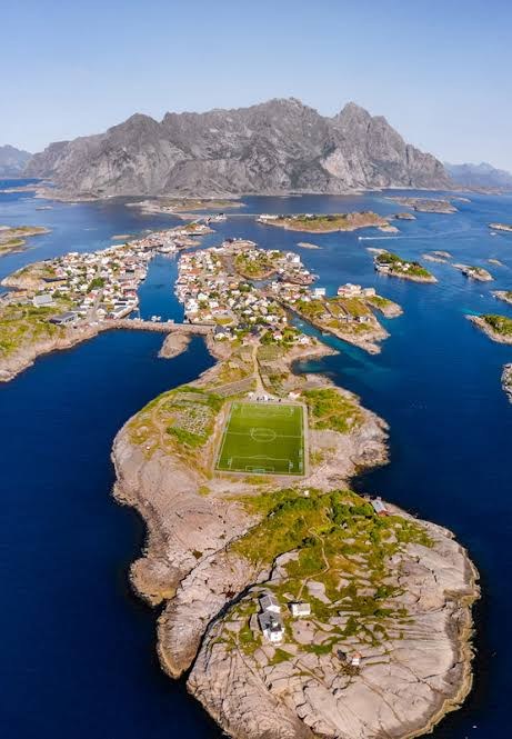
Henningsvær
The fishing village spread over a cluster of skerries at the foot of the mountains, its houses strung along the harbour and joined by bridges — one of thirteen protected cultural environments in Norway, and today the islands’ art village. On the quay, Galleri Lofoten holds one of the country’s largest collections of nineteenth-century northern Norwegian painting; a little further out, the KaviarFactory shows contemporary art in a former caviar factory. Then there is the football pitch, squeezed onto its own islet between the drying racks, which you have almost certainly seen from the air. Cafés, a bakery and a working harbour fill the rest. Count on about an hour and a half without stops — and this is Lofoten, so there will be stops.
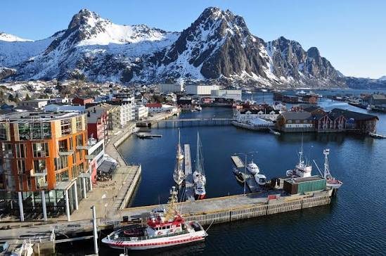
Svolvær
The town of Lofoten, at the eastern end of the islands: shops, restaurants, galleries, hotels and the harbour where the boats leave for Trollfjorden, the two-kilometre fjord so narrow that ships all but touch the rock, with sea eagles overhead. Above the town stands Svolværgeita, the goat-horned pinnacle that climbers come from all over the world to leap between. It is a practical stop as much as a scenic one — the Vinmonopolet, for wine and spirits, is here or in Leknes and nowhere else on the islands — and rainy-day options include a war museum and an ice bar. If you have driven this far east for Henningsvær, take both in the same day.