Kvalvika Beach
A white beach on the outer side of Moskenesøya, inside Lofotodden National Park, with no road to it. Everyone arrives on foot — over a pass or over the top of Ryten, depending on where you start — and the full round trip takes in both. Two trailheads, both about ten minutes from the house.
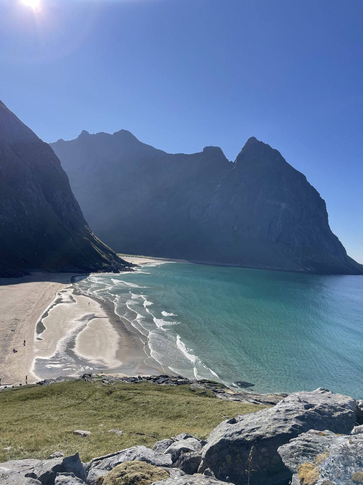
The view that made it famous
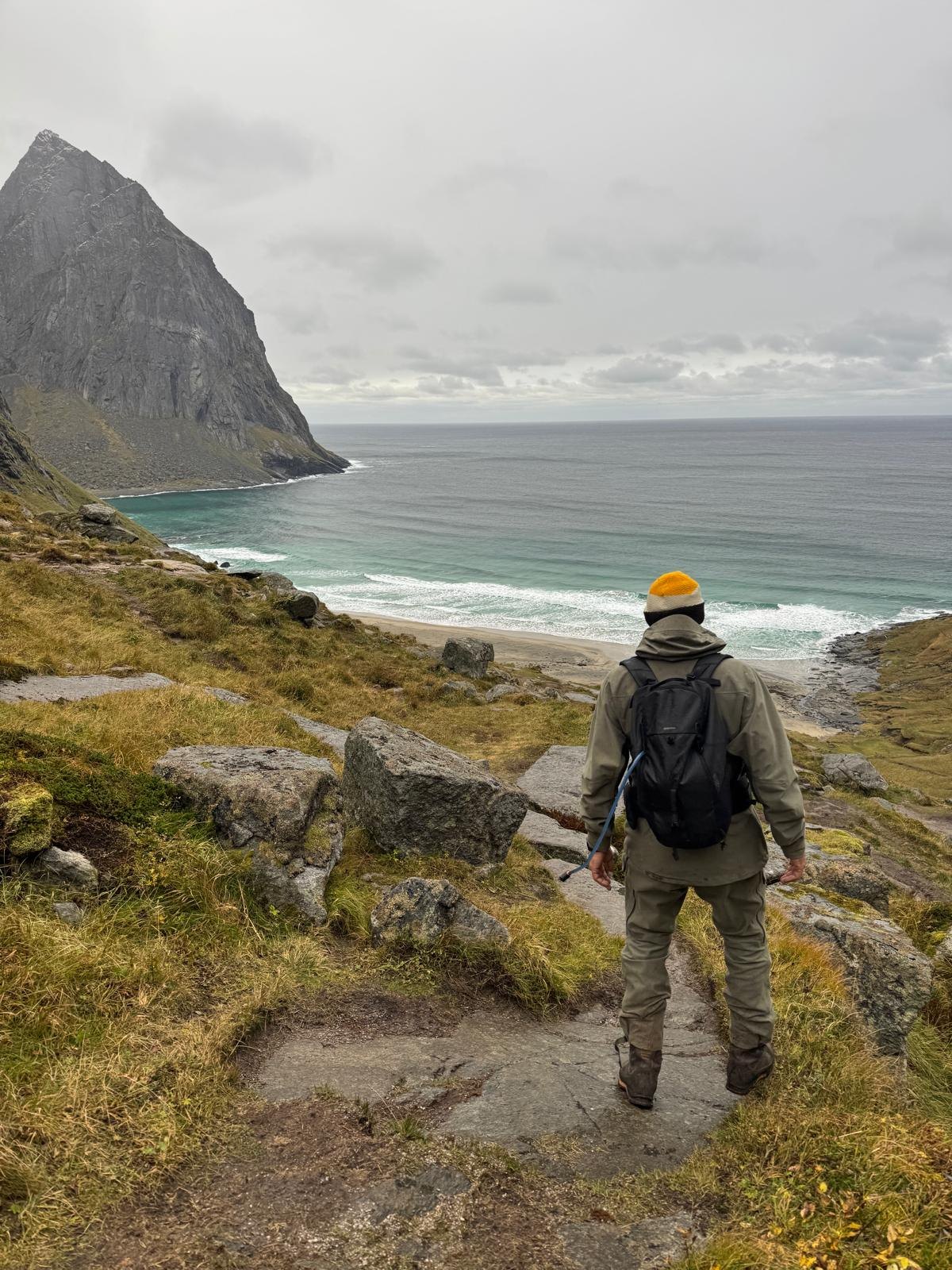
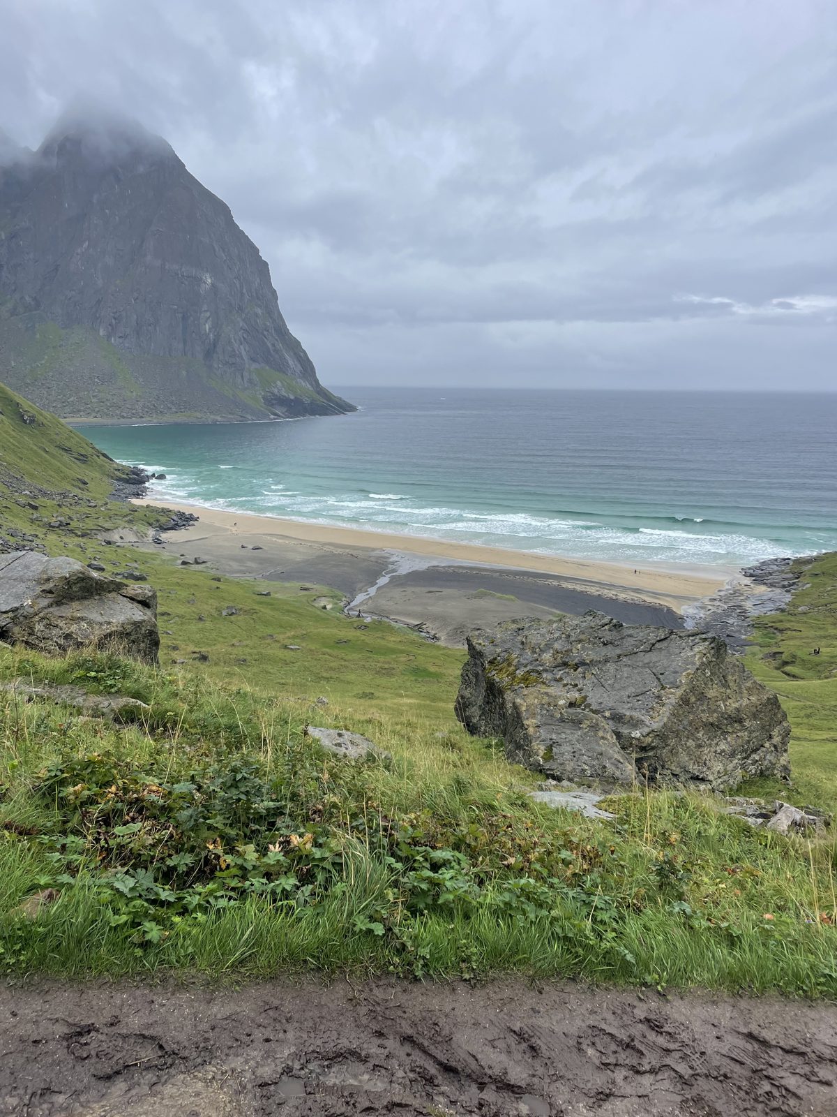
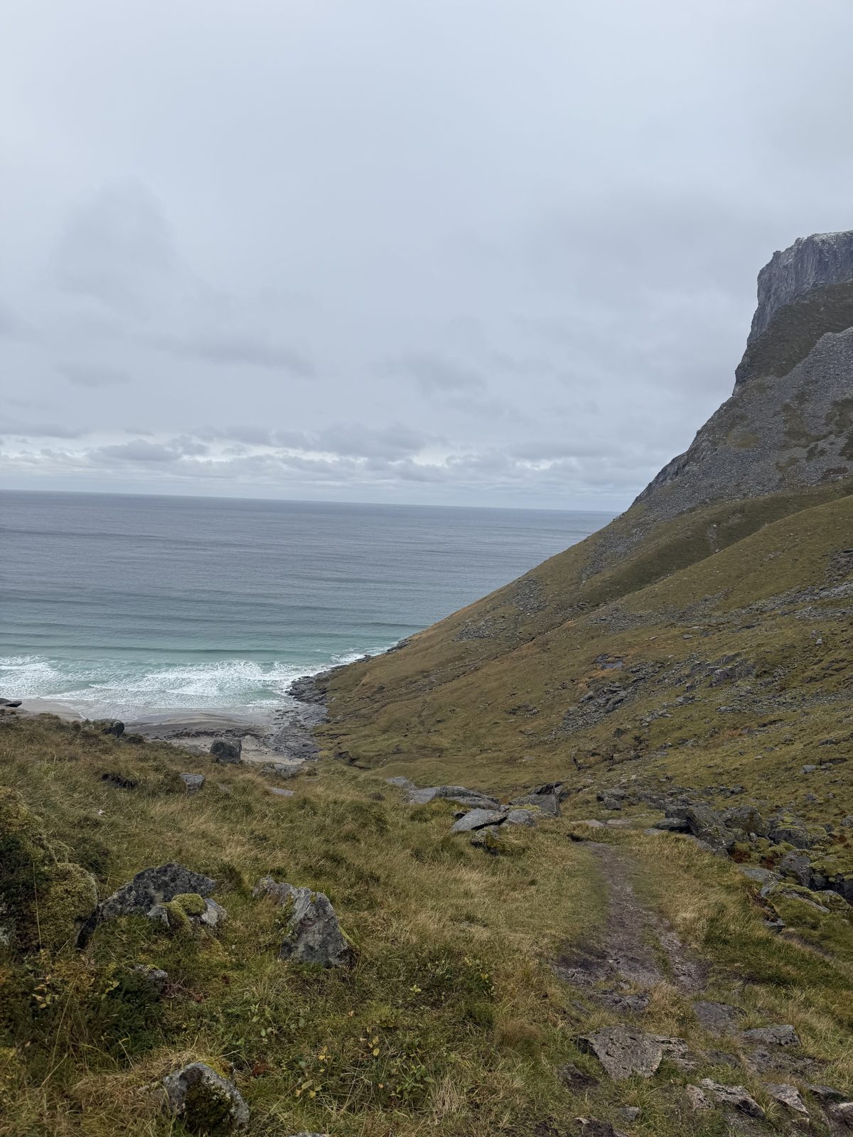
From the pass you see the whole bay at once: the curve of the sand, the surf coming in from the open sea, and the cliffs rising straight out of the water on the far side. Below you is the walk down.
About ten minutes to either trailhead
Both trailheads lie beyond the Fredvang bridges. For the beach alone, start at Torsfjorden: the car park is free, but has fewer than ten spaces and fills quickly. Innersand, on the Yttersand road, is a paid car park with plenty of room — and the natural start if Ryten is part of the day. If both are full, use the old Fredvang school just after the bridges, never the roadside.
- From Casa Lofoten
- About 10 min drive to both parkings
- Parking
- Innersand or the old Fredvang school — Google Maps ↗
Two ways in
From Torsfjorden
The shorter way in, and the best choice for the beach alone — over the lower pass: about 1.9 kilometres one way and roughly 180 metres of climb. Planks carry you across the wet start, the path turns rocky as it climbs, and the last drop to the sand is loose and hands-on. Our pick when the beach is the goal and Ryten is not.
From Innersand, on the Yttersand road
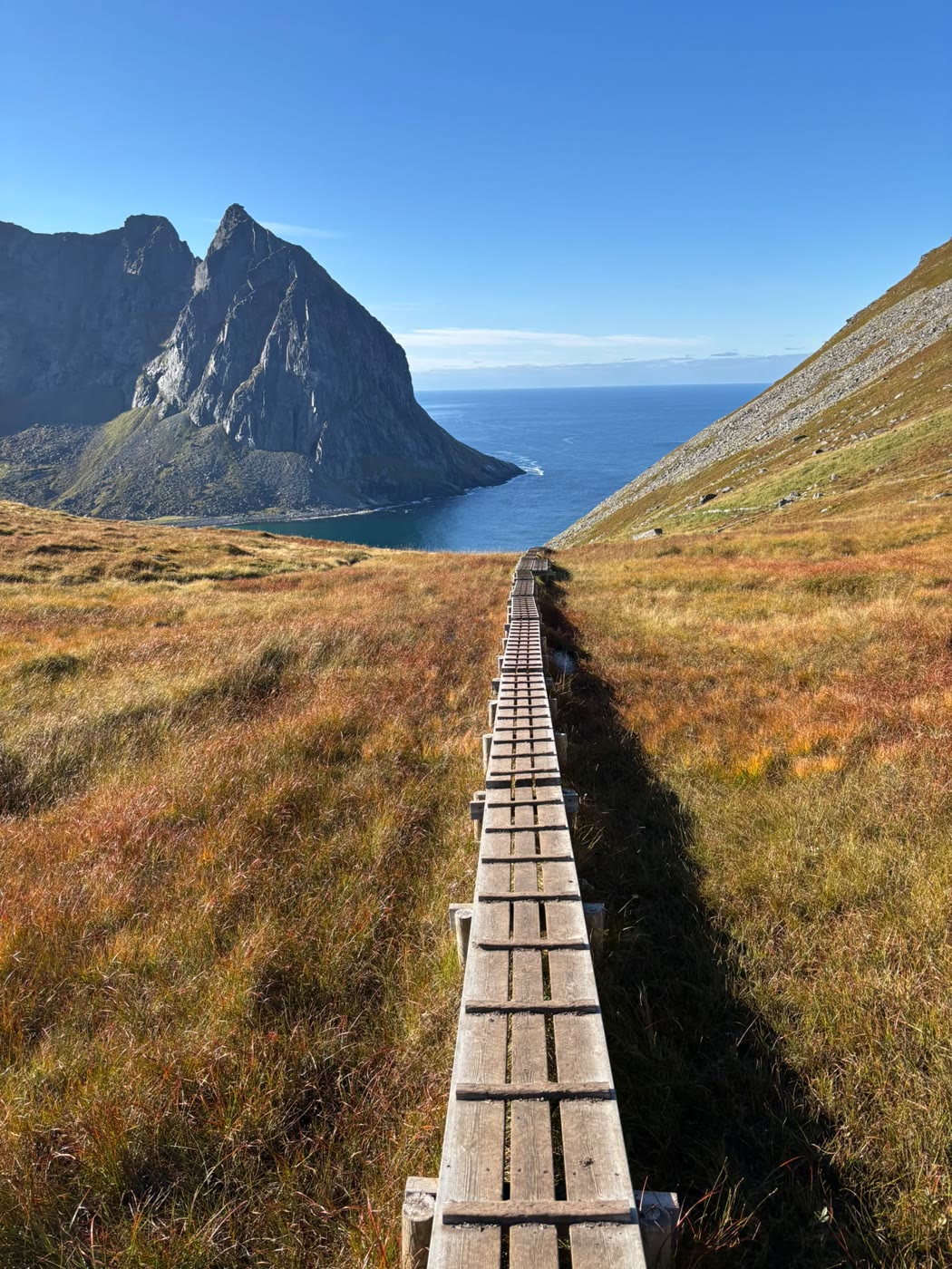
The longer way, over a higher pass: about 2.1 kilometres one way and roughly 270 metres of climb — steeper than Torsfjorden, but easier underfoot, with boardwalks across the bogs and a new stone staircase down the last stretch to the sand. The summit path to Ryten branches off near Forsvatnet. The natural start if you are taking in Ryten.
The full round trip
Up over Ryten, down to the beach and out over Torsfjorden.
Route map
Opens with the house and all three paths in one view — zoom in yourself, or use the buttons.
Use the two buttons to jump between the full view from Casa Lofoten and a closer look at the routes.
Loading the 3D map … it needs an internet connection.
Two ways in
Ten minutes back to
our own beach.
The trailheads are ten minutes from the house — and after the cold water at Kvalvika, our own beach and the sauna are waiting.
Check availability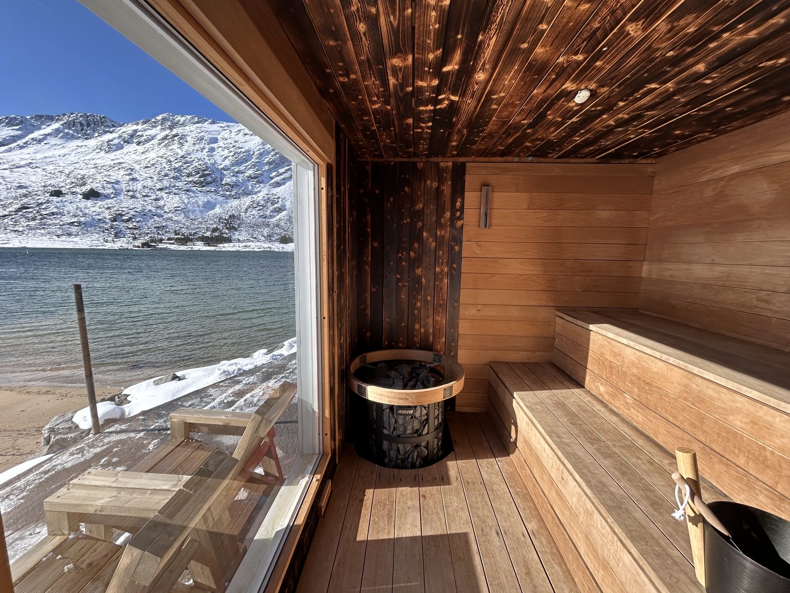
Two friends, one winter, a cabin of driftwood
Inge Wegge and Jørn Nyseth Ranum spent nine months of winter alone in this bay. They built a cabin from driftwood and whatever the sea washed up, ate food the shops would have thrown away, surfed the waves the beach is quietly famous for — and hauled out the rubbish the ocean had left on the sand. The cabin still stands. Their award-winning film North of the Sun (Nordfor sola, 2012) is on Netflix in many countries — watch it before you go; the bay looks different afterwards.
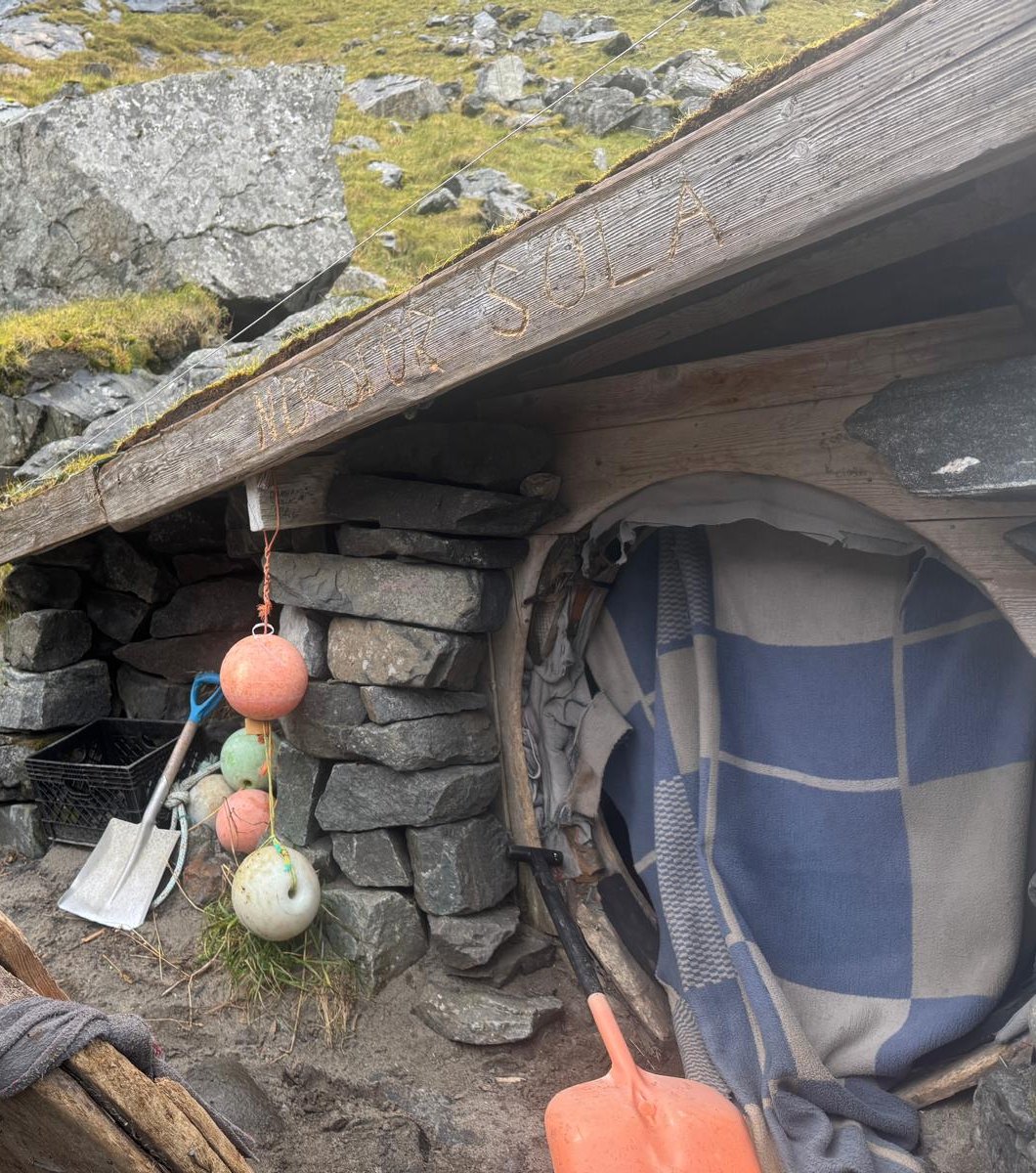
Outside the cabin door — the name is still carved into the roof beam.
Make it a loop with Ryten
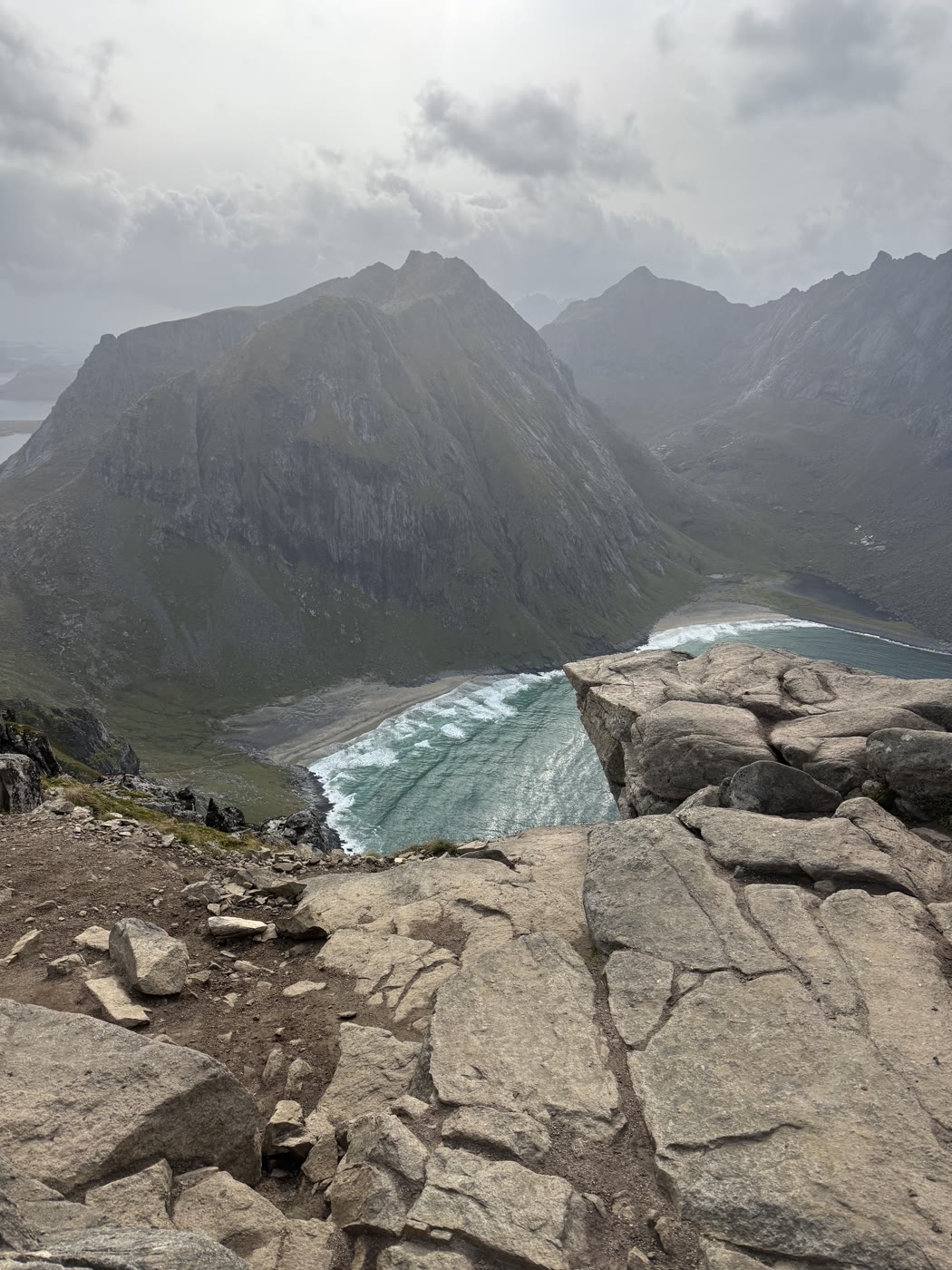
From the fork on the Innersand path it is a further climb to 543 metres, and the reward is the classic view: the whole bay straight below you, the beach curving between the cliffs. Most people return the same way; if your legs agree, you can drop from the summit straight down to the beach and make a loop of it.
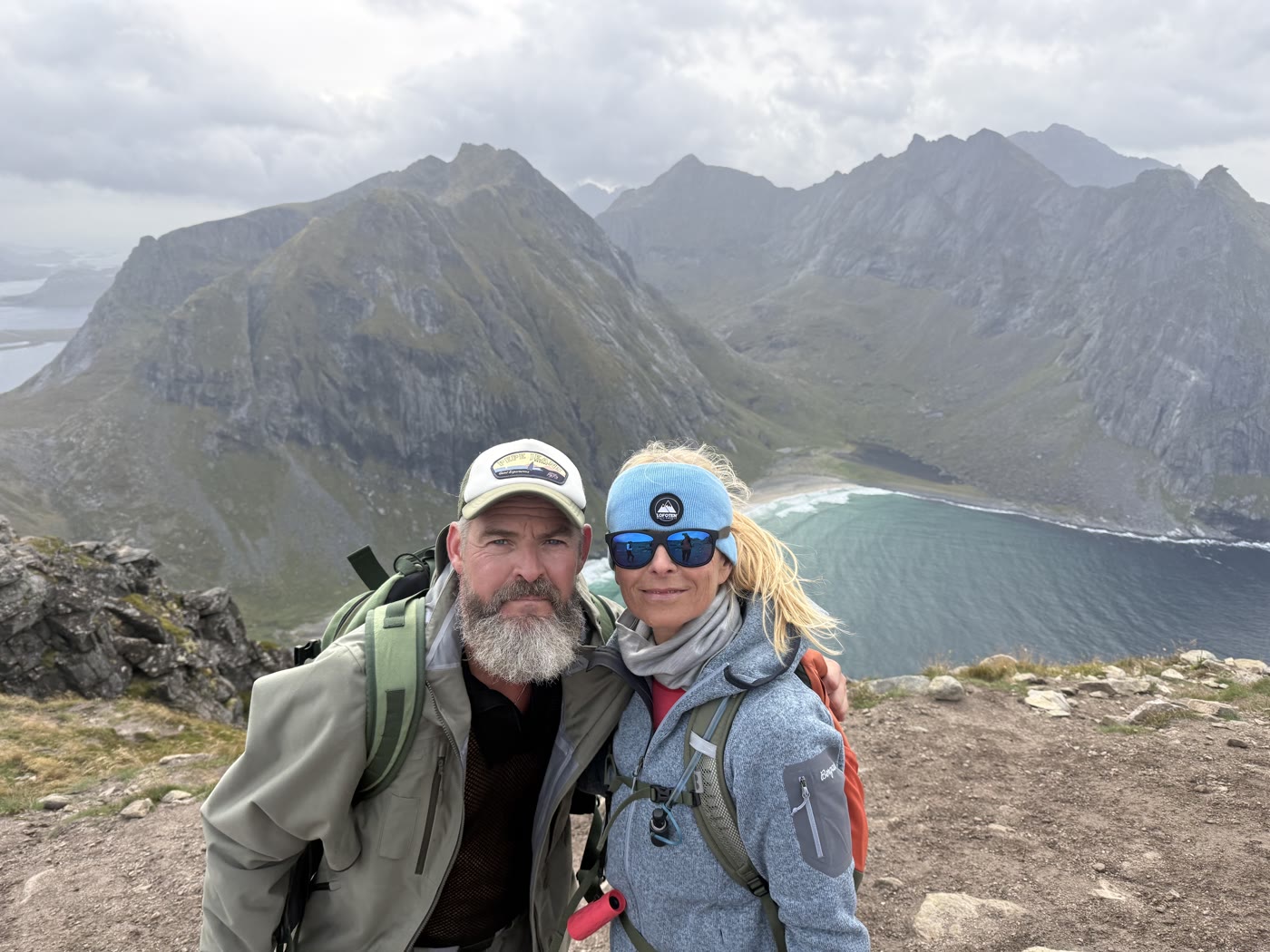
Down at the sand, and from Ryten
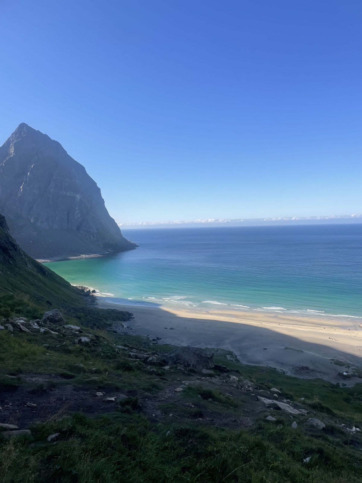
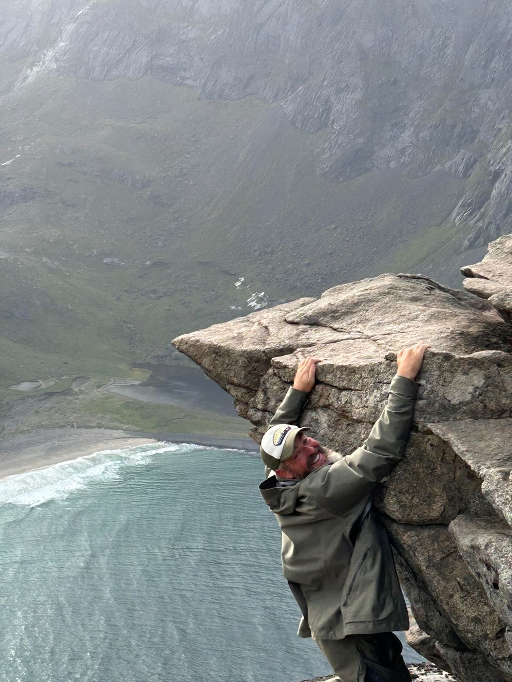
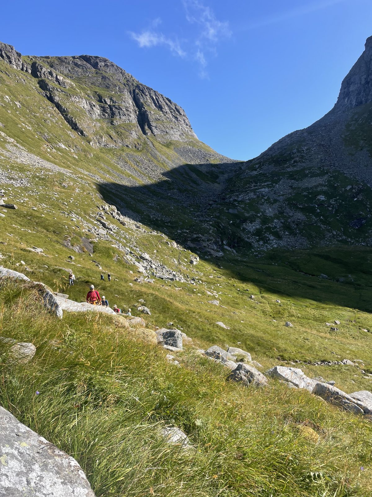
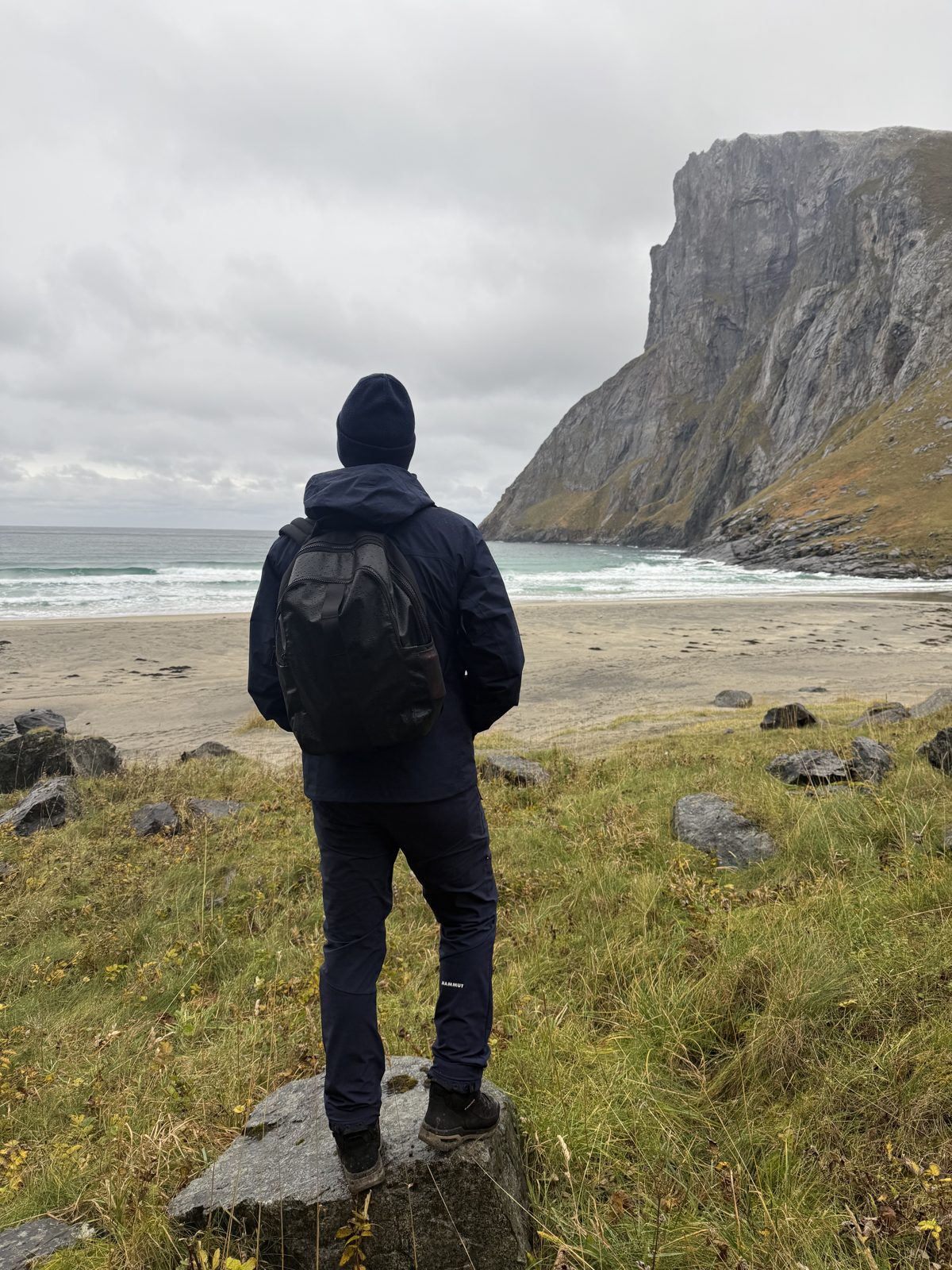
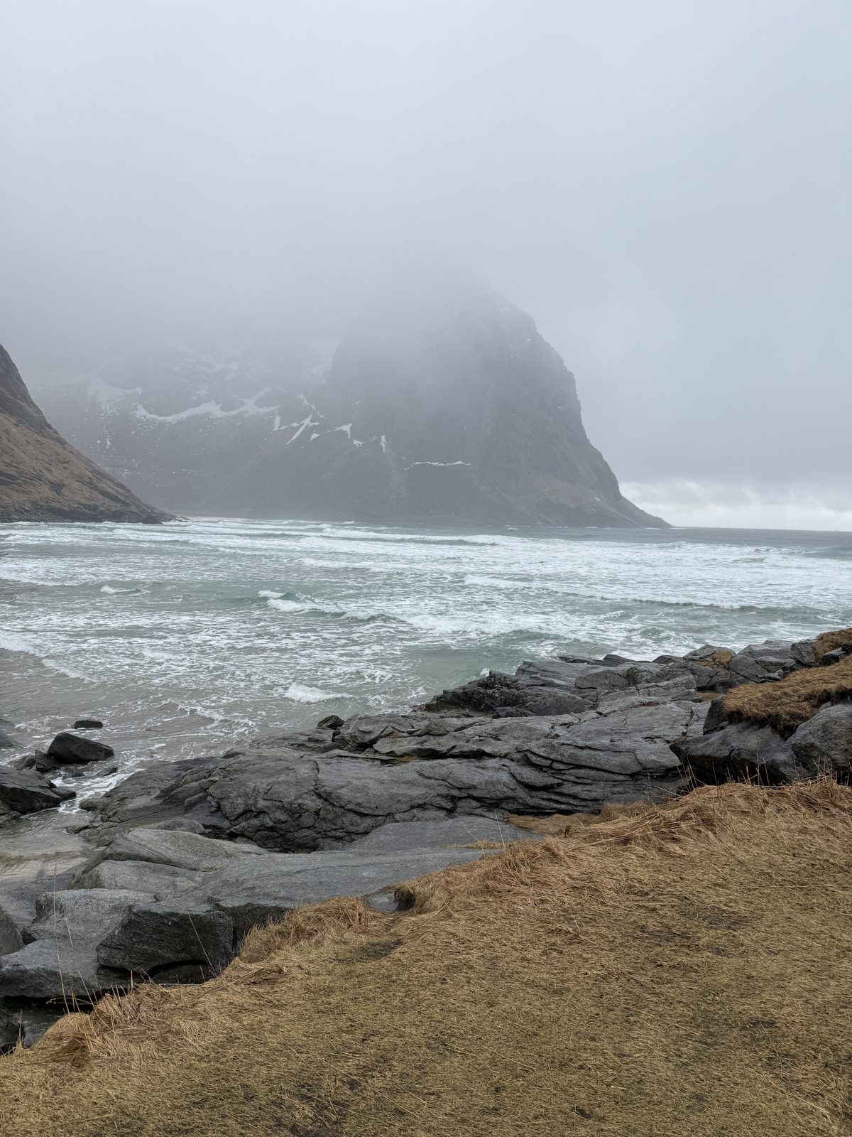
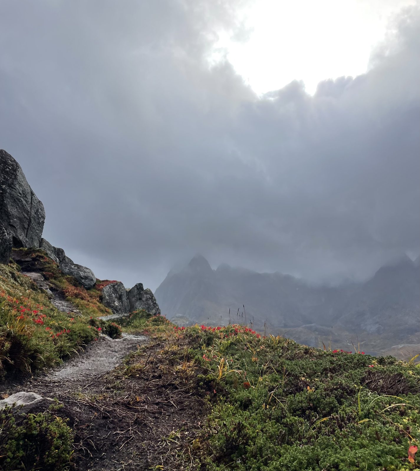
Snapshots from our own walks in — summer, autumn and a grey day
When to go
A summer beach, open all year — In high season there are more people on the sand, but never a queue; the pass sees to that. Winter works with spikes, poles and a short day.
Midnight sun — The beach faces west, so from late May to mid-July the sun sits over the sea at midnight. Many bring a tent and stay the night on the grass above the sand — allowed in the park, as long as you leave no trace.
Surf — The bay is quietly famous for its waves. Bring your own board and a thick wetsuit: there is nobody to rent from, nobody watching, and the water is cold.
What to bring
- Shoes with grip — the drop to the sand from Torsfjorden is loose and rocky
- Wind and rain layers — the beach faces the open sea
- Water and food — there are no facilities
- Swimwear and a towel, or a wetsuit and a board
- A bag for your rubbish — and leave the drone at home; this is a national park
Questions we actually get
Which parking should we use?
Innersand or the old Fredvang school. Torsfjorden has only a handful of spaces and fills first.
Which way in is easier?
Torsfjorden: the lower pass and less climb, but a rough final descent. Innersand: higher and steeper, but better underfoot — and the way to Ryten.
Can we camp on the beach?
Yes. Wild camping is allowed in the national park, and many do in July. Leave no trace — there are no toilets, so plan accordingly.
Can we swim or surf?
Both. The water is cold all year and the surf is real; there is no rental and no lifeguard.
Is it crowded?
In July there are more people, but everyone walks in, so it never turns into a queue. Early or late in the day you can have the sand nearly to yourself.